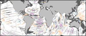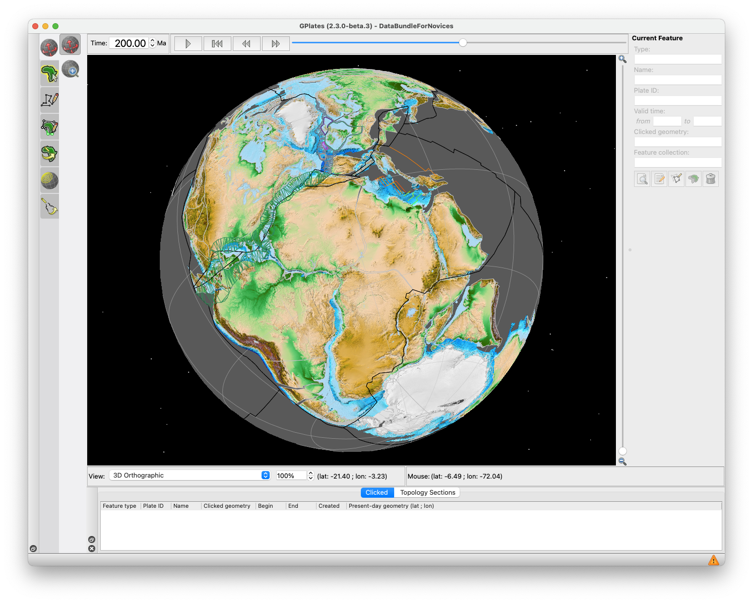
GPlates 2.5 software and data sets

GPlates Title Logo


GPlates is a free desktop software for the interactive visualisation of plate-tectonics. The compilation and documentation of GPlates 2.5 data was primarily funded by AuScope National Collaborative Research Infrastructure (NCRIS).

GPlates is developed by the EarthByte Group (part of AuScope NCRIS) at the University of Sydney and the Division of Geological and Planetary Sciences (GPS) at California Institute of Technology (CalTech). … Read more…

Share

New data set for refined boundaries between continental and ocean crust released

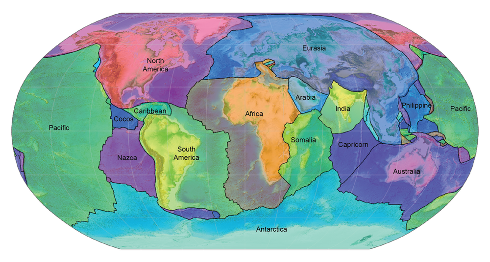
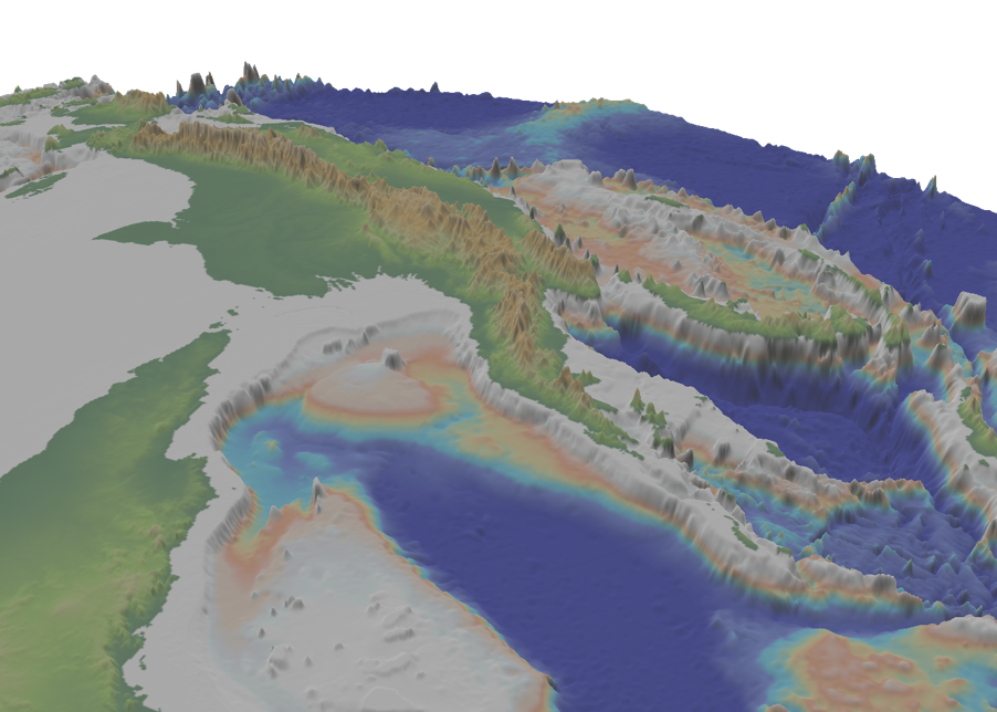
Earth’s topography and bathymetry with revised boundaries between continental and ocean crust overlain as thin red lines. We have released a refined data set of the boundaries between continental and ocean crust (COBs). The data can be downloaded from zenodo as GPlates-compatible gpmlz and as ESRI shapefile. The COBs are based on the data set … Read more…

GPlates 2.4 software and data sets

GPlates Title Logo


GPlates is a free desktop software for the interactive visualisation of plate-tectonics. The compilation and documentation of GPlates 2.4 data was primarily funded by AuScope National Collaborative Research Infrastructure (NCRIS).

GPlates is developed by the EarthByte Group (part of AuScope NCRIS) at the University of Sydney and the Division of Geological and Planetary Sciences (GPS) at California Institute of Technology (CalTech). … Read more…

Share

GPlates 2.3 software and data sets

GPlates Title Logo


GPlates is a free desktop software for the interactive visualisation of plate-tectonics. The compilation and documentation of GPlates 2.3 data was primarily funded by AuScope National Collaborative Research Infrastructure (NCRIS).

GPlates is developed by the EarthByte Group (part of AuScope NCRIS) at the University of Sydney and the Division of Geological and Planetary Sciences (GPS) at California Institute of Technology (CalTech). … Read more…
Share

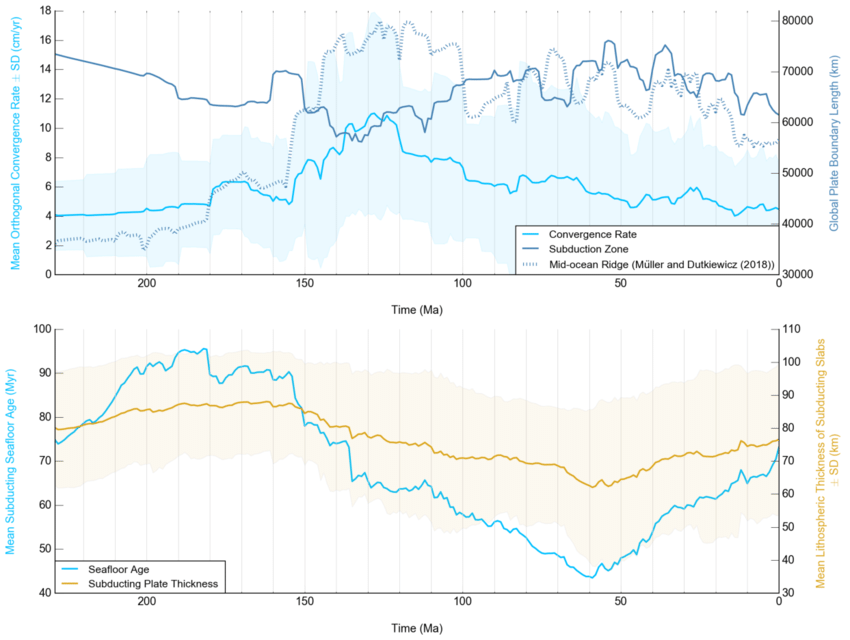
Subduction history reveals Cretaceous slab superflux as a possible cause for the mid-Cretaceous plume pulse and superswell events

Abstract: Subduction is a fundamental mechanism of material exchange between the planetary interior and the surface. Despite its significance, our current understanding of fluctuating subducting plate area and slab volume flux has been limited to a range of proxy estimates. Here we present a new detailed quantification of subduction zone parameters from the Late Triassic … Read more…

Decoding earth’s plate tectonic history using sparse geochemical data

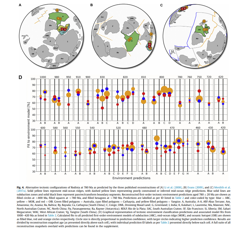
Abstract: Accurately mapping plate boundary types and locations through time is essential for understanding the evolution of the plate-mantle system and the exchange of material between the solid Earth and surface environments. However, the complexity of the Earth system and the cryptic nature of the geological record make it difficult to discriminate tectonic environments through … Read more…

GPlates 2.2 software and data sets

GPlates Title Logo

GPlates 1.5 PromoGPlates is a free desktop software for the interactive visualisation of plate-tectonics. The compilation and documentation of GPlates 2.2 data was primarily funded by AuScope National Collaborative Research Infrastructure (NCRIS).

GPlates is developed by an international team of scientists and professional software developers at the EarthByte Project (part of AuScope) at the University of Sydney, the Division of Geological and Planetary Sciences (GPS) at CalTech, the Geodynamics team at the Geological Survey of Norway (NGU) and the Centre for Earth Evolution and Dynamics (CEED) at the University of Oslo. … Read more…

Share

How Earth’s continents became twisted and contorted over millions of years

Dietmar Muller, Maria Seton and Sabin Zahirovic published an article in The Conversation on How Earth’s continents became twisted and contorted over millions of years based on their recently published paper in Tectonics. Classical plate tectonic theory was developed in the 1960s. It proposed that the outer layer of our planet is made up of a small number of rigid … Read more…

GPlates 2.1 software and data sets

GPlates Title Logo

GPlates 1.5 PromoGPlates is a free desktop software for the interactive visualisation of plate-tectonics. The compilation and documentation of GPlates 2.1 data was primarily funded by AuScope National Collaborative Research Infrastructure (NCRIS).

GPlates is developed by an international team of scientists and professional software developers at the EarthByte Project (part of AuScope) at the University of Sydney, the Division of Geological and Planetary Sciences (GPS) at CalTech, the Geodynamics team at the Geological Survey of Norway (NGU) and the Centre for Earth Evolution and Dynamics (CEED) at the University of Oslo. … Read more…

Share

GPlates 2.0 software and data sets

GPlates 1.5 PromoGPlates is a free desktop software for the interactive visualisation of plate-tectonics. The compilation and documentation of GPlates 2.0 data was primarily funded by AuScope National Collaborative Research Infrastructure (NCRIS).

GPlates is developed by an international team of scientists and professional software developers at the EarthByte Project (part of AuScope) at the University of Sydney, the Division of Geological and Planetary Sciences (GPS) at CalTech, the Geodynamics team at the Geological Survey of Norway (NGU) and the Centre for Earth Evolution and Dynamics (CEED) at the University of Oslo.  … Read more…

Share

Geochemistry, Geophysics, Geosystems – Semi-automatic fracture zone tracking

Wessel, P., Matthews, K. J., Müller, R. D., Mazzoni, A., Whittaker, J. M., Myhill, R., & Chandler, M. T. (2015). Semi-automatic fracture zone tracking. Geochemistry, Geophysics, Geosystems. doi: 10.1002/2015GC005853. Semi-automatic fracture zone tracking This paper includes an update to the global seafloor tectonic fabric data set by Matthews et al. (JGR, 2011).  Based on the vertical gravity … Read more…