SUN - Natuna Arch
This page summarizes and bundles the available data for the Natuna Arch.
The images are hyperlinks and will open up a separate window with a high resolution PDF
image of the map.
Basin Overview
| Overview |
| Basin name |
Natuna Arch |
| Region code |
SUN |
| Basin ID |
6340 |
| No. of rings |
1 |
| Basin size [km²] |
20466.1 |
| Plate location/code |
/ |
|
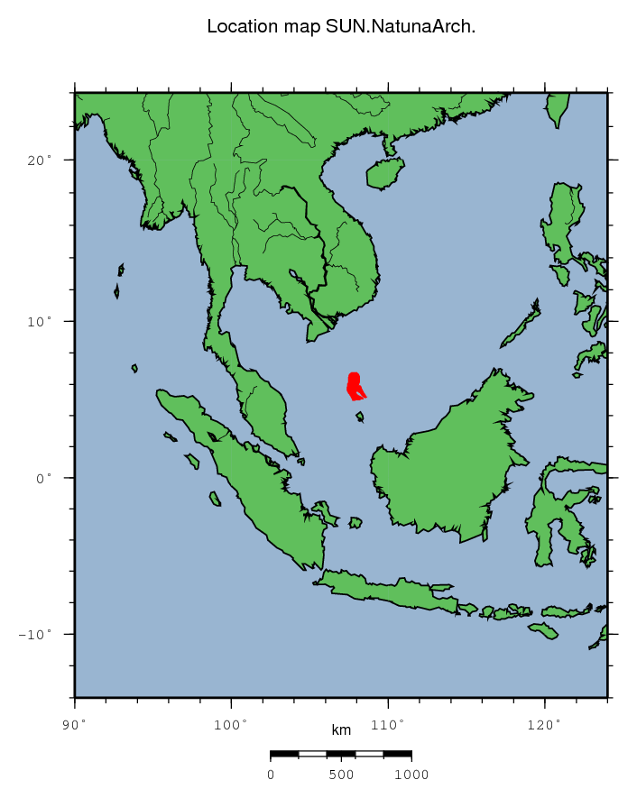
|
|
|
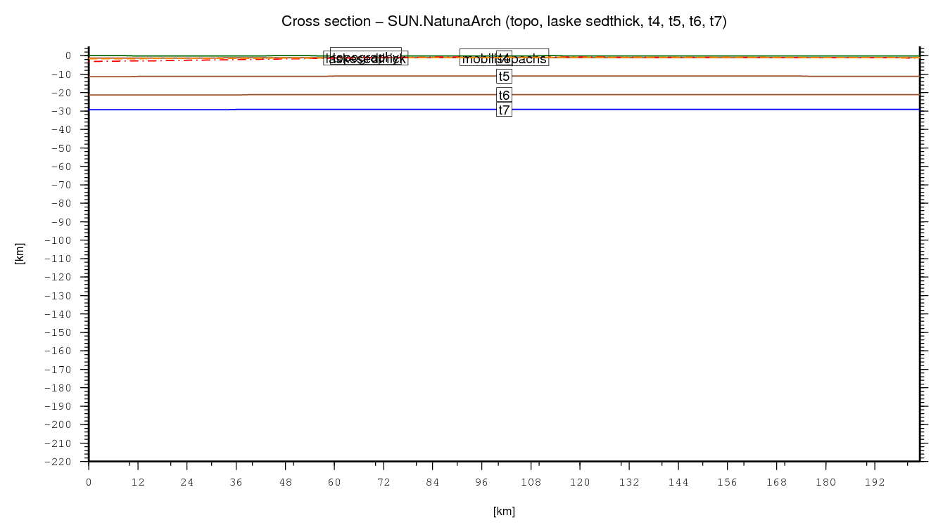
Basin cross section
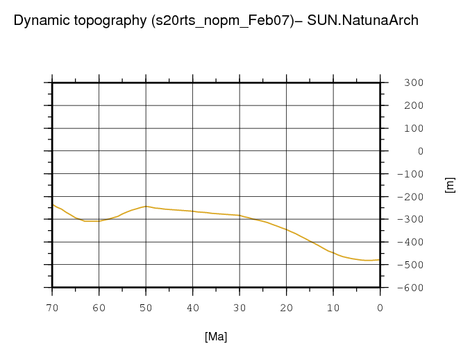
Dynamic topography through time
Observations
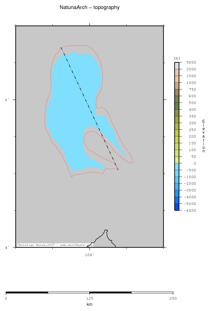
| Topography (ETOPO2) |
|
| Statistics - Topography (ETOPO2) |
| Median |
| Mean |
| Scale |
| stdev |
| rms |
| Z_min |
| Z_max |
Comments
Comment section disabled
↑ back to the top...
|
| Heatflow |
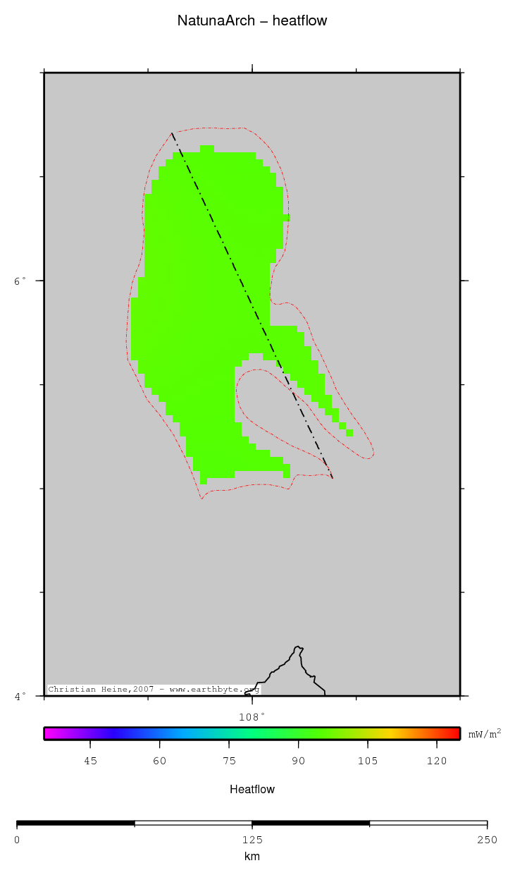
|
| Statistics - Heatflow |
| Median |
| Mean |
| Scale |
| stdev |
| rms |
| Z_min |
| Z_max |
Comments
Comment section disabled
↑ back to the top...
|
| Mantle density SMEAN (500km depth) |

|
| Statistics - Mantle density SMEAN (500km depth) |
| Median |
| Mean |
| Scale |
| stdev |
| rms |
| Z_min |
| Z_max |
Comments
Comment section disabled
↑ back to the top...
|
| Mantle density SMEAN (790km depth) |

|
| Statistics - Mantle density SMEAN (790km depth) |
| Median |
| Mean |
| Scale |
| stdev |
| rms |
| Z_min |
| Z_max |
Comments
Comment section disabled
↑ back to the top...
|
| Mobil isopachs |
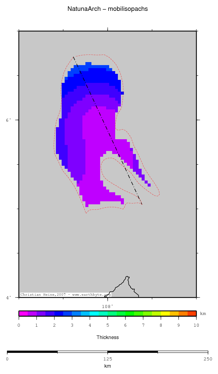
|
| Statistics - Mobil isopachs |
| Median |
| Mean |
| Scale |
| stdev |
| rms |
| Z_min |
| Z_max |
Comments
Comment section disabled
↑ back to the top...
|
| Sediment thickness (Australia, GA) |

|
| Statistics - Sediment thickness (Australia, GA) |
| Median |
| Mean |
| Scale |
| stdev |
| rms |
| Z_min |
| Z_max |
Comments
Comment section disabled
↑ back to the top...
|
| GA crustal thickness |

|
| Statistics - GA crustal thickness |
| Median |
| Mean |
| Scale |
| stdev |
| rms |
| Z_min |
| Z_max |
Comments
Comment section disabled
↑ back to the top...
|
| Moho depth (Australia, GA) |

|
| Statistics - Moho depth (Australia, GA) |
| Median |
| Mean |
| Scale |
| stdev |
| rms |
| Z_min |
| Z_max |
Comments
Comment section disabled
↑ back to the top...
|
| Thermal lithospheric thickness |
|
| Statistics - Thermal lithospheric thickness |
| Median |
| Mean |
| Scale |
| stdev |
| rms |
| Z_min |
| Z_max |
Comments
Comment section disabled
↑ back to the top...
|
| Depth of 550 deg isotherm |
|
| Statistics - Depth of 550 deg isotherm |
| Median |
| Mean |
| Scale |
| stdev |
| rms |
| Z_min |
| Z_max |
Comments
Comment section disabled
↑ back to the top...
|
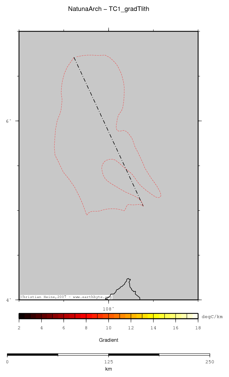
| Lithospheric temperature gradient |
|
| Statistics - Lithospheric temperature gradient |
| Median |
| Mean |
| Scale |
| stdev |
| rms |
| Z_min |
| Z_max |
Comments
Comment section disabled
↑ back to the top...
|
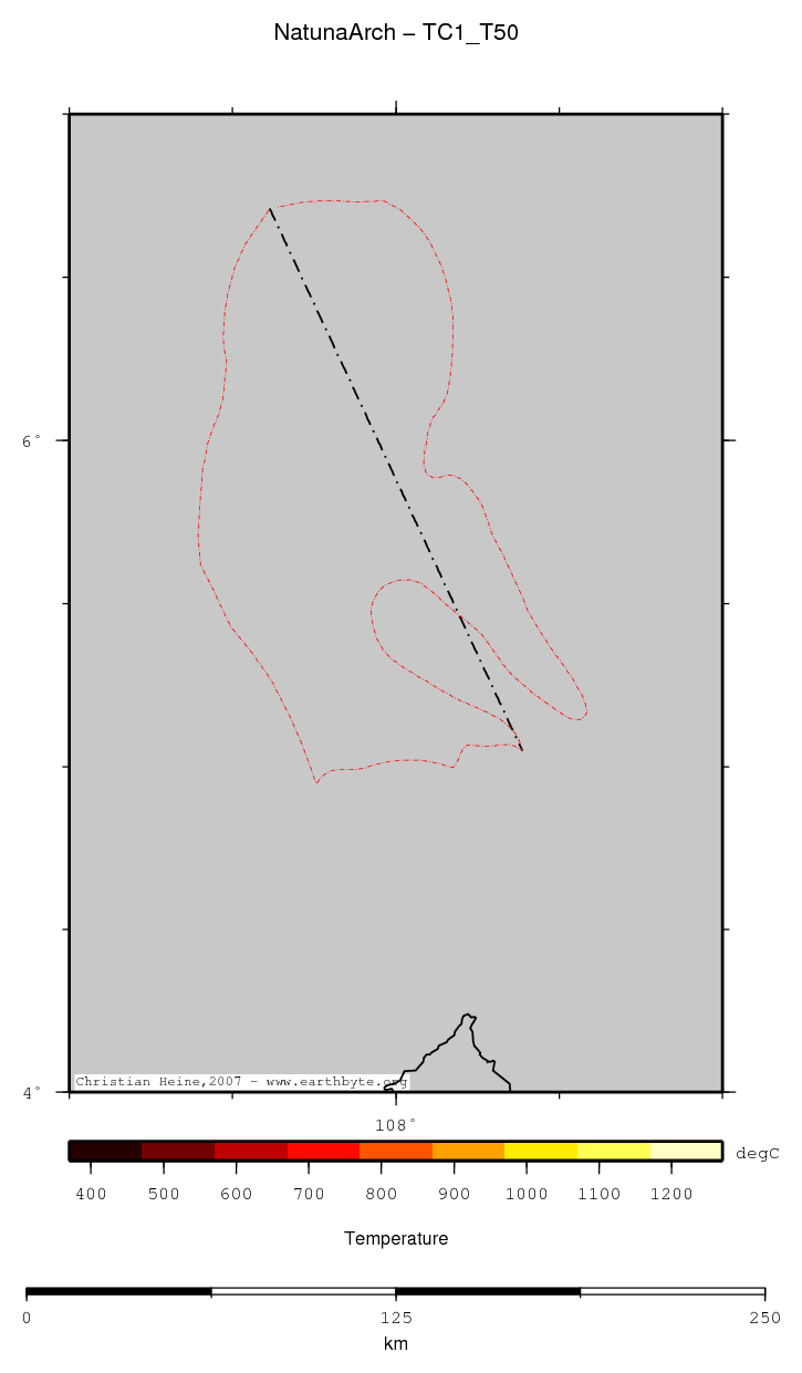
| Temperature at 50km depth |
|
| Statistics - Temperature at 50km depth |
| Median |
| Mean |
| Scale |
| stdev |
| rms |
| Z_min |
| Z_max |
Comments
Comment section disabled
↑ back to the top...
|
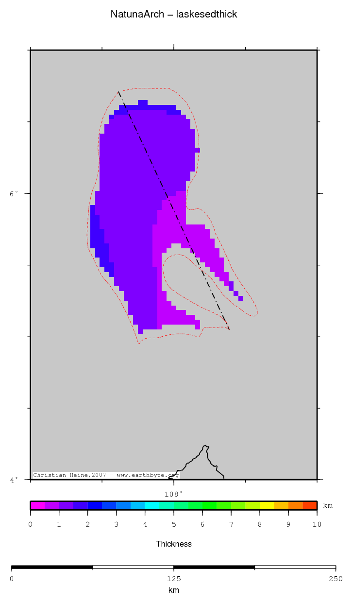
| Laske sediment thickness |
|
| Statistics - Laske sediment thickness |
| Median |
| Mean |
| Scale |
| stdev |
| rms |
| Z_min |
| Z_max |
Comments
Comment section disabled
↑ back to the top...
|
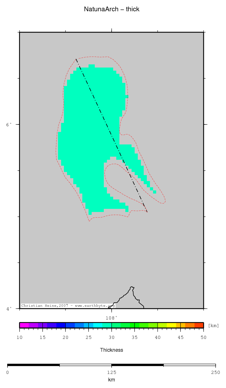
| Total crustal thickness |
|
| Statistics - Total crustal thickness |
| Median |
| Mean |
| Scale |
| stdev |
| rms |
| Z_min |
| Z_max |
Comments
Comment section disabled
↑ back to the top...
|
| Base hard sediments |

|
| Statistics - Base hard sediments |
| Median |
| Mean |
| Scale |
| stdev |
| rms |
| Z_min |
| Z_max |
Comments
Comment section disabled
↑ back to the top...
|
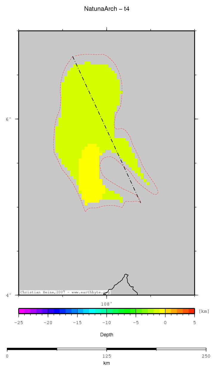
| Base hard sediments |
|
| Statistics - Base hard sediments |
| Median |
| Mean |
| Scale |
| stdev |
| rms |
| Z_min |
| Z_max |
Comments
Comment section disabled
↑ back to the top...
|
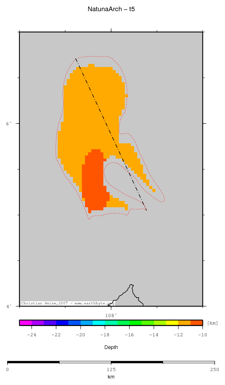
| Base upper crust |
|
| Statistics - Base upper crust |
| Median |
| Mean |
| Scale |
| stdev |
| rms |
| Z_min |
| Z_max |
Comments
Comment section disabled
↑ back to the top...
|
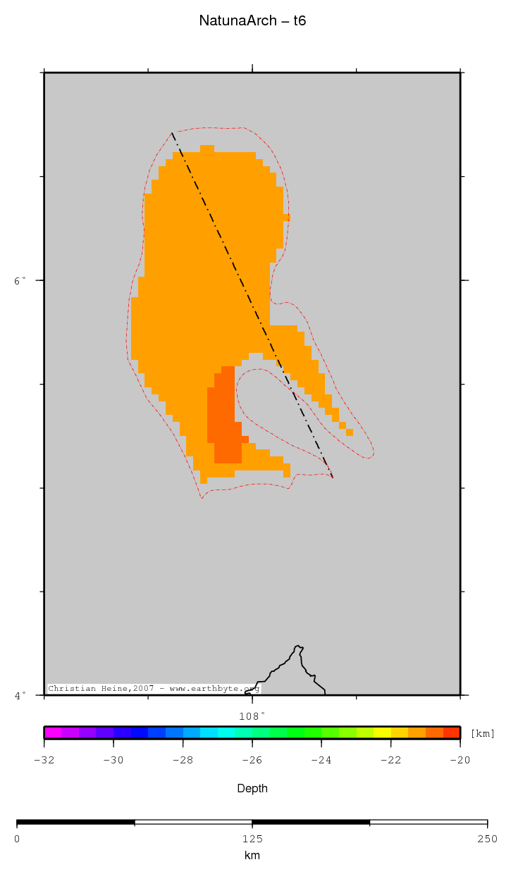
| Base middle crust |
|
| Statistics - Base middle crust |
| Median |
| Mean |
| Scale |
| stdev |
| rms |
| Z_min |
| Z_max |
Comments
Comment section disabled
↑ back to the top...
|
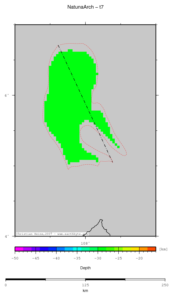
| Base lower crust |
|
| Statistics - Base lower crust |
| Median |
| Mean |
| Scale |
| stdev |
| rms |
| Z_min |
| Z_max |
Comments
Comment section disabled
↑ back to the top...
|
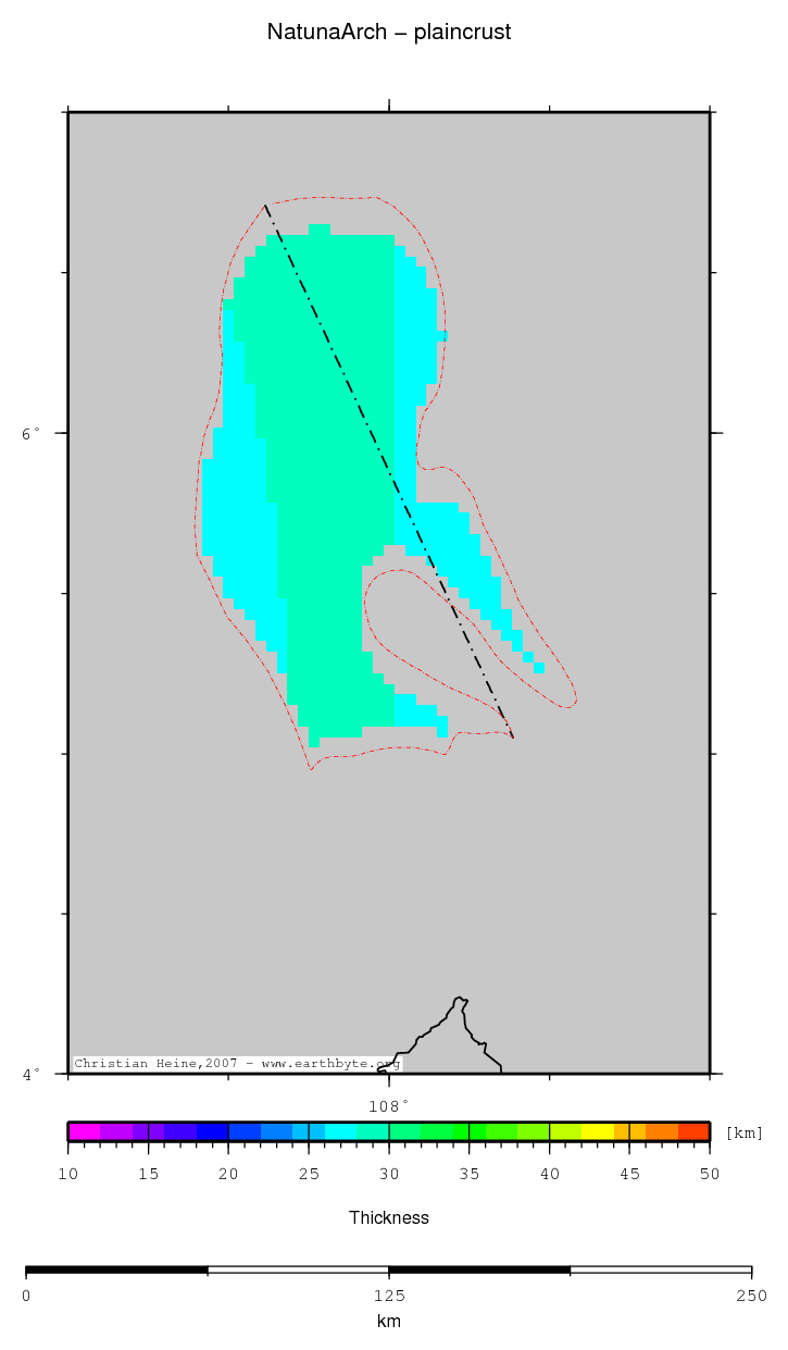
| Plain crustal thickness |
|
| Statistics - Plain crustal thickness |
| Median |
| Mean |
| Scale |
| stdev |
| rms |
| Z_min |
| Z_max |
Comments
Comment section disabled
↑ back to the top...
|
| OzSEEBASE sediment thickness |

|
| Statistics - OzSEEBASE sediment thickness |
| Median |
| Mean |
| Scale |
| stdev |
| rms |
| Z_min |
| Z_max |
Comments
Comment section disabled
↑ back to the top...
|
| OzSEEBASE depth2basement |

|
| Statistics - OzSEEBASE depth2basement |
| Median |
| Mean |
| Scale |
| stdev |
| rms |
| Z_min |
| Z_max |
Comments
Comment section disabled
↑ back to the top...
|
| OzSEEBASE crustal thickness |

|
| Statistics - OzSEEBASE crustal thickness |
| Median |
| Mean |
| Scale |
| stdev |
| rms |
| Z_min |
| Z_max |
Comments
Comment section disabled
↑ back to the top...
|
| OzSEEBASE moho depth |

|
| Statistics - OzSEEBASE moho depth |
| Median |
| Mean |
| Scale |
| stdev |
| rms |
| Z_min |
| Z_max |
Comments
Comment section disabled
↑ back to the top...
|
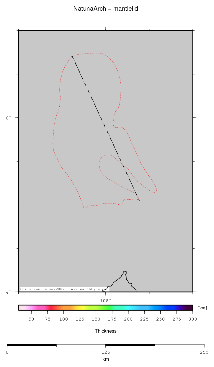
| Mantle Lid thickness |
|
| Statistics - Mantle Lid thickness |
| Median |
| Mean |
| Scale |
| stdev |
| rms |
| Z_min |
| Z_max |
Comments
Comment section disabled
↑ back to the top...
|
Analysis
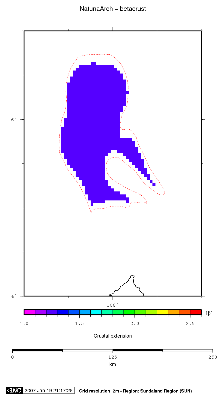
| Beta (Crust) |
|
| Statistics - Beta (Crust) |
| Median |
| Mean |
| Scale |
| stdev |
| rms |
| Z_min |
| Z_max |
Comments
Comment section disabled
↑ back to the top...
|
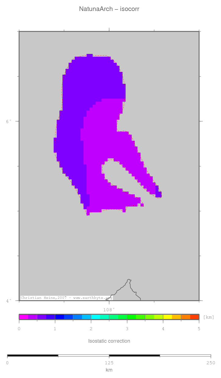
| Isostatic correction |
|
| Statistics - Isostatic correction |
| Median |
| Mean |
| Scale |
| stdev |
| rms |
| Z_min |
| Z_max |
Comments
Comment section disabled
↑ back to the top...
|
| TTS (crust) |
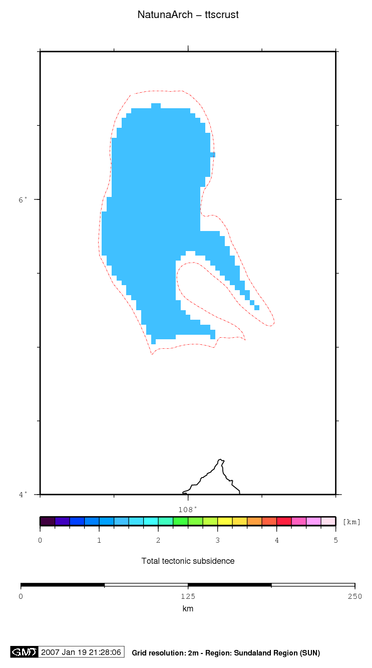
|
| Statistics - TTS (crust) |
| Median |
| Mean |
| Scale |
| stdev |
| rms |
| Z_min |
| Z_max |
Comments
Comment section disabled
↑ back to the top...
|
| TTS (sediment) |
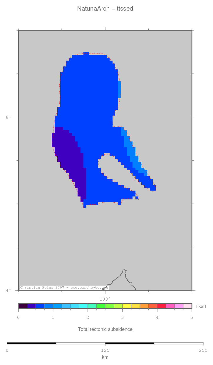
|
| Statistics - TTS (sediment) |
| Median |
| Mean |
| Scale |
| stdev |
| rms |
| Z_min |
| Z_max |
Comments
Comment section disabled
↑ back to the top...
|
| Beta (Sediment) |
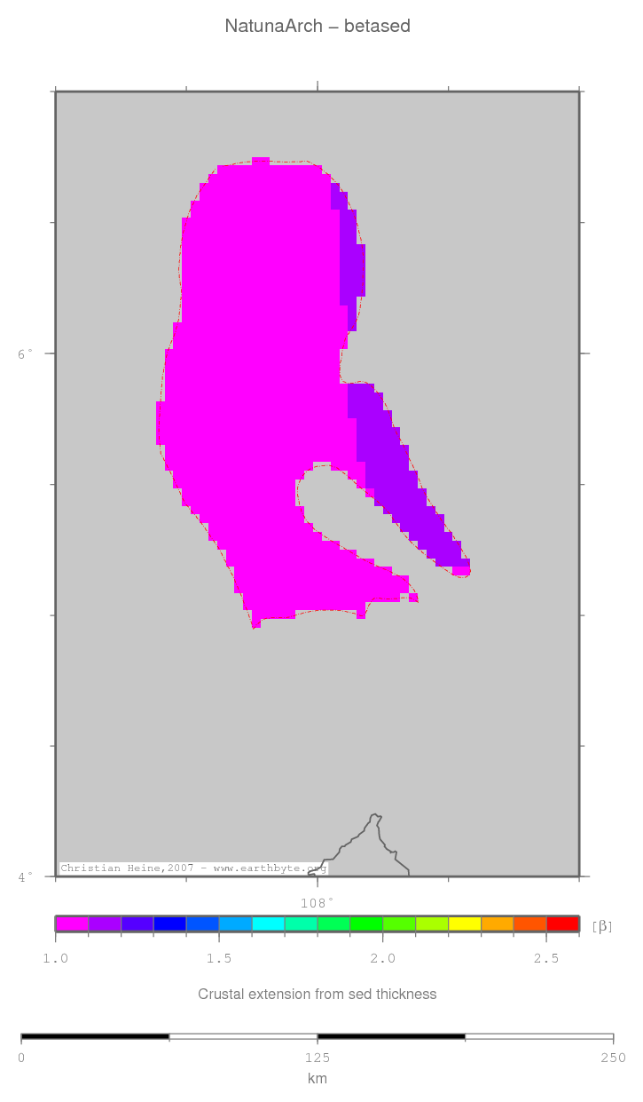
|
| Statistics - Beta (Sediment) |
| Median |
| Mean |
| Scale |
| stdev |
| rms |
| Z_min |
| Z_max |
Comments
Comment section disabled
↑ back to the top...
|
| Differential Beta |
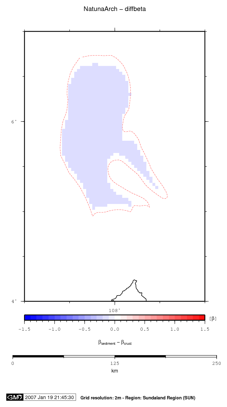
|
| Statistics - Differential Beta |
| Median |
| Mean |
| Scale |
| stdev |
| rms |
| Z_min |
| Z_max |
Comments
Comment section disabled
↑ back to the top...
|
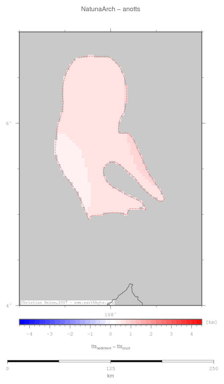
| Anomalous TTS |
|
| Statistics - Anomalous TTS |
| Median |
| Mean |
| Scale |
| stdev |
| rms |
| Z_min |
| Z_max |
Comments
Comment section disabled
↑ back to the top...
|
| Lithosph. extension |

|
| Statistics - Lithosph. extension |
| Median |
| Mean |
| Scale |
| stdev |
| rms |
| Z_min |
| Z_max |
Comments
Comment section disabled
↑ back to the top...
|
| Predicted elevation |
|
| Statistics - Predicted elevation |
| Median |
| Mean |
| Scale |
| stdev |
| rms |
| Z_min |
| Z_max |
Comments
Comment section disabled
↑ back to the top...
|
This basin data is based on interpolated global grids and might contain gridding errors or wrongly interpolated data values.
Page generated 2007-04-04 00:11:09 CEST | © Christian Heine, School of Geosciences, Sydney University, Australia