|
|
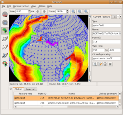
GPlates Legacy Data and Documentation
Superceeded (older) tutorials for earlier
GPlates versions can still be accessed here
GPlates-compatible
Data Files - Features
Below is a list of
GPlates-compatible data files that can be loaded
seamlessly in GPlates. The feature data are
available as .gpml (GPlates Markup Language), .dat
(PLATES4), .shp (ESRI Shapefile) and .xy (long, lat
with header record) formats.
Download EarthByte Global Rotation Model
Click Here (License)
Download EarthByte Global Plate ID Assignments
Click Here (License)
Download EarthByte Global Coastline File
Click Here (License)
Download EarthByte Global Present Day Isochron
File
Click Here (License)
Download EarthByte Global Continent-Ocean
Boundary File
Click Here (License)
Download EarthByte Global Spreading Ridge File
Click Here (License)
GPlates-compatible Data Files - Rasters
Below is a list of
GPlates-compatible present-day rasters and
time-dependent raster images that can be loaded
seamlessly in GPlates. The raster data are available
as a series of jpgs.
Download Global Present Day Agegrid for use in
raster reconstructions
Click Here (License)
Download Global Time-Dependent Oceanic Crustal
Age Files (0-140 Ma)
Click Here (License)
Download Global Time-Dependent Oceanic Seafloor
Spreading Rate Files (0-140 Ma)
Click Here (License)
Download Global Time-Dependent Dynamic Topography
Files (0-70 Ma)
Click Here
Download Global Age-Coded Seismic Tomography
Files (0-200 Ma)
Click Here
More Raster Images are available from the NGU
website
Click Here
Global Plate Polygon Files
We provide 2
different types of global plate polygon files, each
with different uses:
1. EarthByte Plate Model 2009 Present Day Static
Plate Polygon Files
2. Dynamic Closed Plate Polygon Data Files (Gurnis,
M., Turner, M., Zahirovic, S., DiCaprio, L.,
Spasojevic, S., Müller, R.D., Boyden, J., Seton, M.,
Manea, V.C., and Bower, D., 2012, Plate
Reconstructions with Continuously Closing Plates, Computers and
Geosciences, 38, 35-42,
doi:10.1016/j.cageo.2011.04.014 Download
Paper)
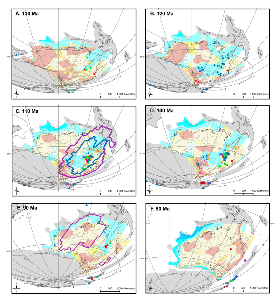
Phanerozoic Reconstruction - Paleogeography
and paleobiology
A Phanerozoic plate motion model, digital coastline file,
and continental outlines, ready for use with GPlates were made available with
the publication of Wright et al. 2013 . This plate motion model is different from the Mesozoic and Cenozoic plate models
developed by the EarthByte group, including models by Müller et al. (2008) and
Seton et al. (2012). Instead, the Phanerozoic plate motion model accompanying
this paper is based on the relative plate motions from Golonka (2007) and
the updated absolute motions of Africa (using the GAD rotations) from Torsvik
and Van Der Voo (2002). The complete Paleobiology Database (as of October 2011)
is included in the supplementary material as tab delimited files, and the
converted shapefiles are available for collections between 100 and 0 Ma. The
Palaeogeographic Atlas of Australia is also provided in shapefile format, and
has been converted into GTS2004. Additionally, the workflow and selected
results from our data mining process is provided. here.
Suggested citation:
Wright, N., Zahirovic, S., Müller, R. D., and Seton, M. "Towards community-driven paleogeographic reconstructions: integrating open-access paleogeographic and paleobiology data with plate tectonics, Biogeosciences, 10, 1529-1541, doi:10.5194/bg-10-1529-2013, 2013.
1. EarthByte Plate
Model 2009 Present Day Plate Polygon Files
These static polygons represent the boundaries
of present day plates as well as presently preserved palaeo-plate
boundaries. The polygons are broken up by age over
the ocean floor based on the Müller et. al. (2008)
present day agegrid. Plates that have been created
or destroyed in the past are not incorporated into
this model. The plate polygons are based on the
EarthByte 2009 plate model (Click
Here). This dataset is compatible with the
EarthByte present day coastline file. The file can
be loaded into GPlates, other GIS software (such as
ArcGIS, PaleoGIS, Quantum GIS, GRASS GIS, SAGA GIS,
etc) as well as technical computing programs such as
Matlab. For more info, Click
Here
Download EarthByte Plate Model 2009 Plate Polygon
File Click
Here (License)
2. Dynamic Closed Plate Polygon Data Files
(Gurnis, M., Turner, M., Zahirovic, S., DiCaprio, L.,
Spasojevic, S., Müller, R.D., Boyden, J., Seton, M.,
Manea, V.C., and Bower, D., 2012, Plate
Reconstructions with Continuously Closing Plates, Computers and
Geosciences, 38, 35-42,
doi:10.1016/j.cageo.2011.04.014) Download
Paper
These polygons
represent continuously closing plates from 140 Ma to
the present. Unlike the present day polygons listed
above, these polygons dynamically change shape as
the plate boundaries evolve. Plates that once
existed in the past are incorporated. The plate
polygons are based on the EarthByte 2007 global
plate model. This dataset is best used for any
global plate kinematic analysis, as boundary layer
input into mantle convection software such as
CitcomS and can be used to assign plate
identifications to your dataset. The limitation of
this dataset is its resolution, with only 40 plates
existing during the last 140 Myrs. The plate
polygons are available as GPML (GPlates Markup
Language) files, which can be manipulated and
translated to other formats with GPlates. The data
are also available as static polygons in 1 Myr
intervals. For more info, Click
Here.
Download Global Plate Polygons (0-140 Ma) and corresponding rotation
file
Click Here
Publications
Boyden, J.A.,
Müller, R.D., Gurnis, M., Torsvik, T.H., Clark,
J.A., Turner, M., Ivey-Law, H., Watson, R.J. and
Cannon, J.S., 2011, Next-generation plate-tectonic
reconstructions using GPlates, in: Geoinformatics:
Cyberinfrastructure for the Solid Earth Sciences,
Keller G.R. and Baru, C., eds., Cambridge University
Press, p. 95-114.
Gurnis, M., Turner, M., Zahirovic, S., DiCaprio, L.,
Spasojevich, S., Müller, R. D., Boyden, J., Seton, M.,
Manea, V.C., and Bower, D., 2012,
Plate Reconstructions with Continuously Closing
Plates, Computers and Geosciences, 38, 35-42,
doi:10.1016/j.cageo.2011.04.014.
Williams, S., Müller, R.D., Landgrebe, T. C.W.,
Whittaker, J.M., 2012, An open-source software
environment for visualizing and refining plate
tectonic reconstructions using high resolution
geological and geophysical data sets, GSA Today, 22,
no. 4/5, doi: 10.1130/GSATG139A.1.
Qin, X., Müller, R.D., Cannon, J., Landgrebe,
T.C.W., Heine, C., Watson, R.J., and Turner, M.,
2012, The GPlates Geological Information Model and
Markup Language, Geosci. Instrum. Method. Data Syst.
Discuss., 2, 163, doi:10.5194/gid-2-365-2012. Download
Paper
|
|

