In order to see how well the Matthews et al. (2016) plate kinematic model (Figure 2) can be relied upon to represent subduction zone length variations through time, we measured plate boundaries from the Bird (2003) global plate boundary data set (Figure 1). This was achieved using a combination of ArcGIS and our subduction zone analysis tools.
The modelled results we obtained for subduction zone lengths for present day correspond well with the estimates from Bird (2003). Our calculated present day subduction zone lengths are 61 940 km, which is 40 km greater than the Bird (2003) estimate (61 900.8 km).
The discrepancy between our estimate (Figure 2) and that of Bird (2003) (Figure 1) represent minor differences in the definitions of subduction zones in the Mediterranean and Arabian regions, Banda Sea near the northwest Australian shelf, the East Philippine arc south of Luzon and the Mussau Trench (Figure 2).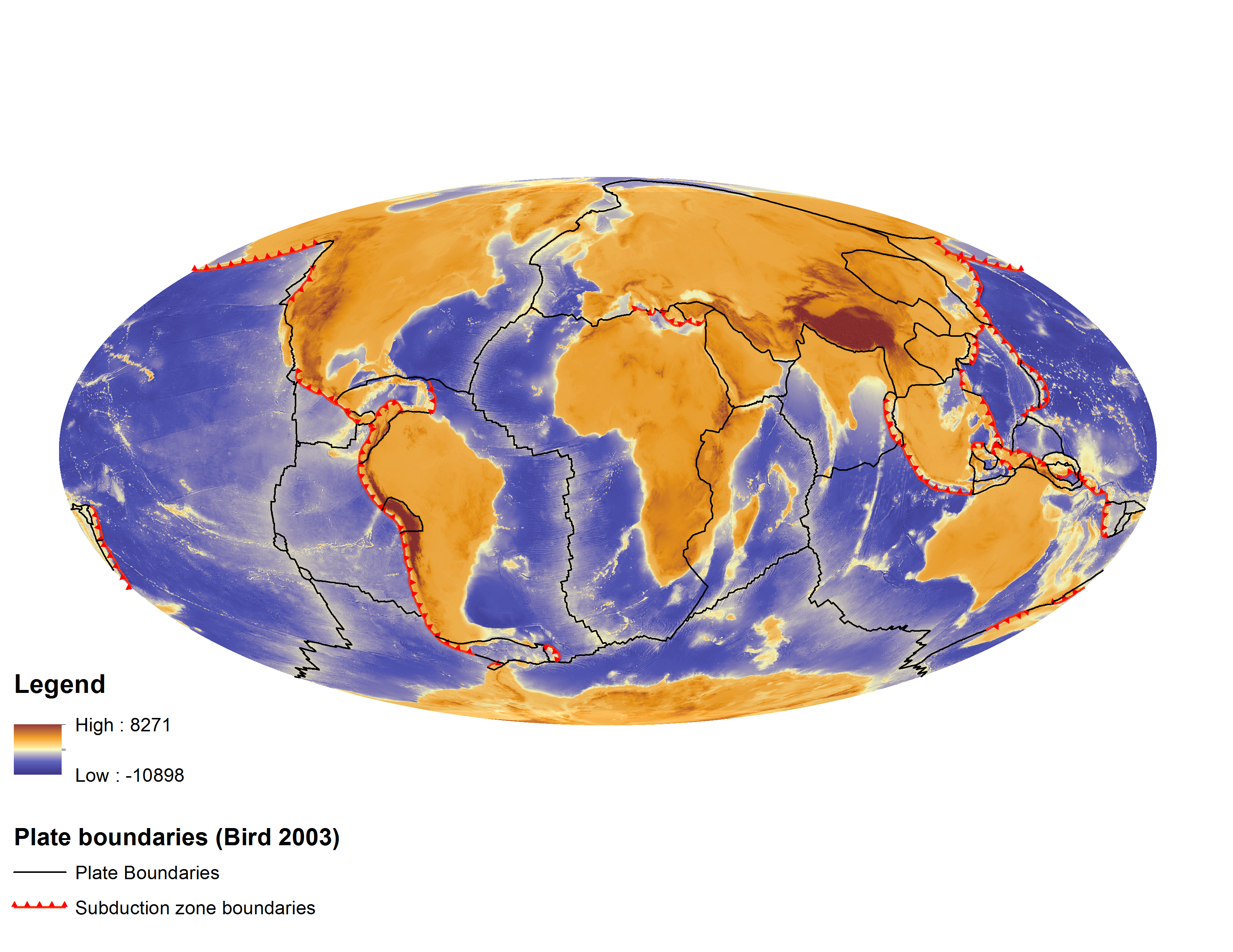
Figure 1. Subduction zones (red with teeth) and plate boundaries (black) according to the Bird (2003) global plate boundaries dataset.
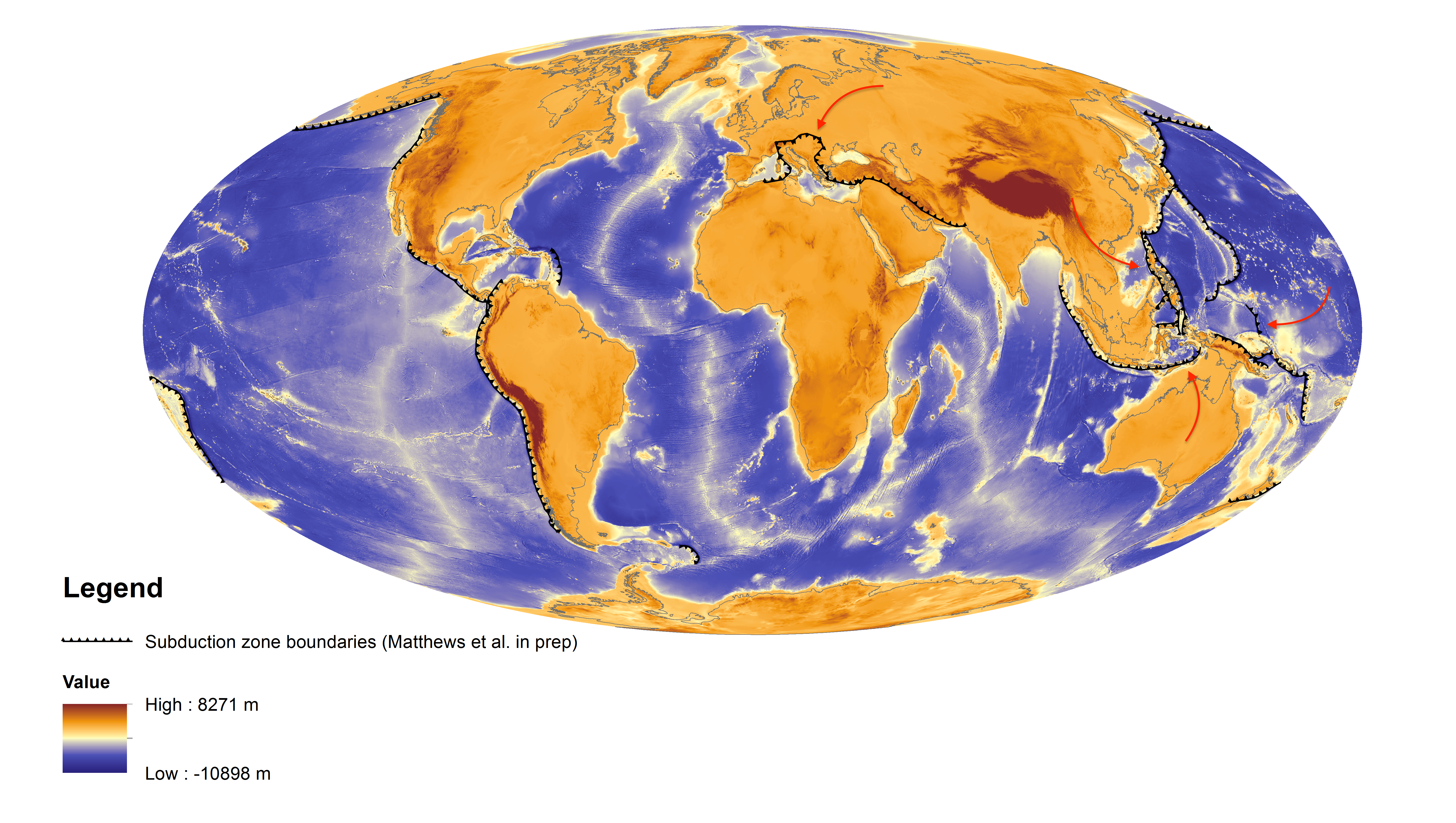
Figure 2. Subduction zones (black with teeth) with updated sections indicated with arrows at present day from the Matthews et al. (2016) plate model, obtained from our subduction zone analysis script and visualised in GPlates.
![]()
