 Citation
Zahirovic, S., Seton, M., and Müller, R. D., (2014). The Cretaceous and Cenozoic tectonic evolution of Southeast Asia: Solid Earth (EGU).
Summary
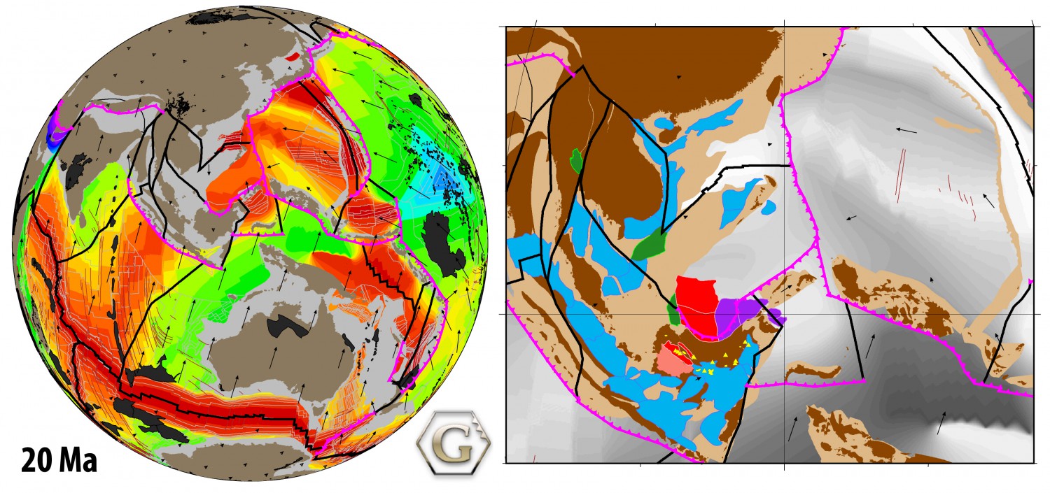
Tectonic reconstructions of Southeast Asia have given rise to numerous controversies that include the accretionary history of Sundaland and the enigmatic tectonic origin of the Proto South China Sea. We assimilate a diversity of geological and geophysical observations into a new regional plate model, coupled to a global model, to address these debates.
Our approach takes into account terrane suturing and accretion histories, the location of subducted slabs imaged in mantle tomography in order to constrain the evolution of regional subduction zones, as well as plausible absolute and relative plate velocities and tectonic driving mechanisms. … Read more…