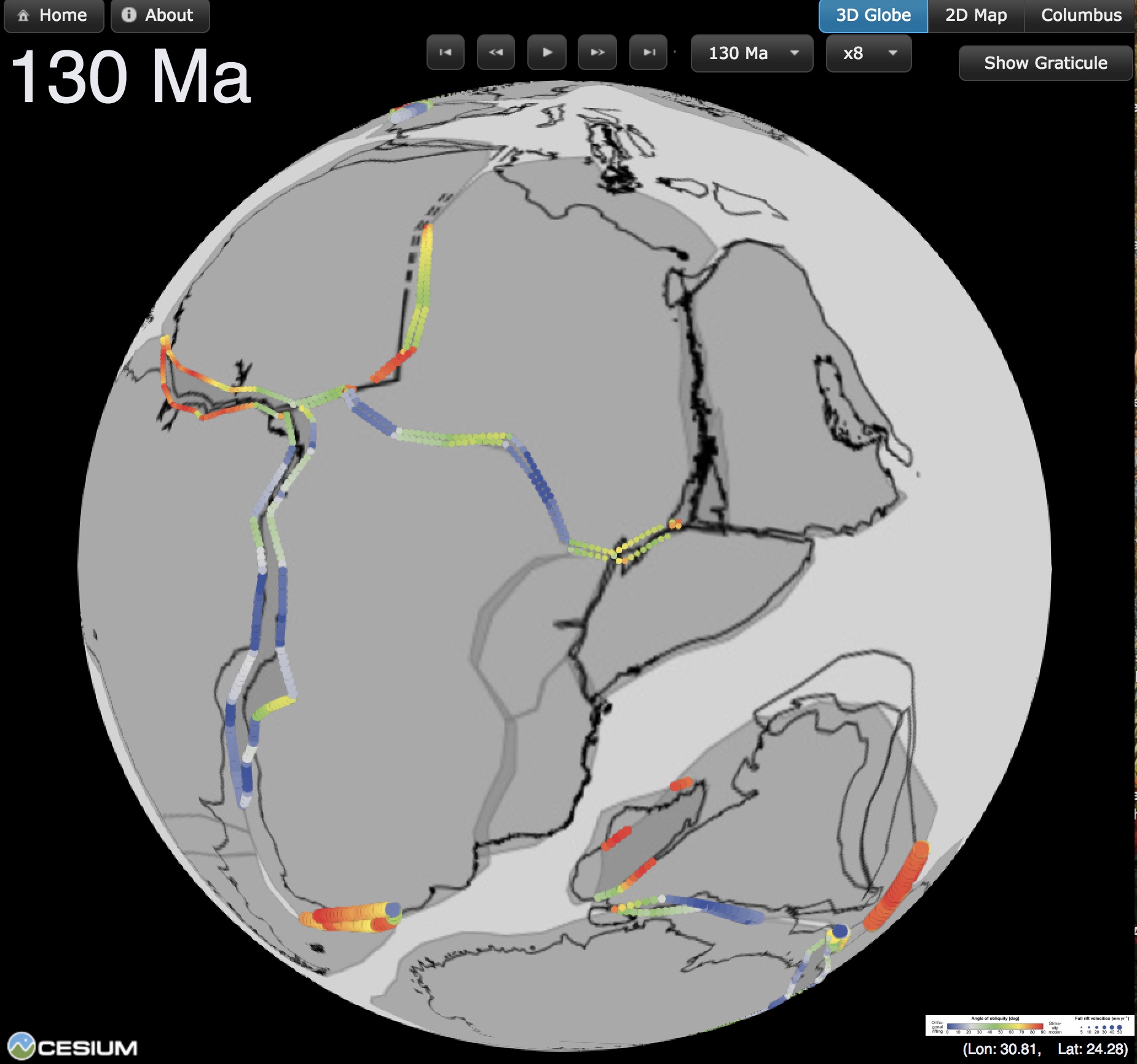
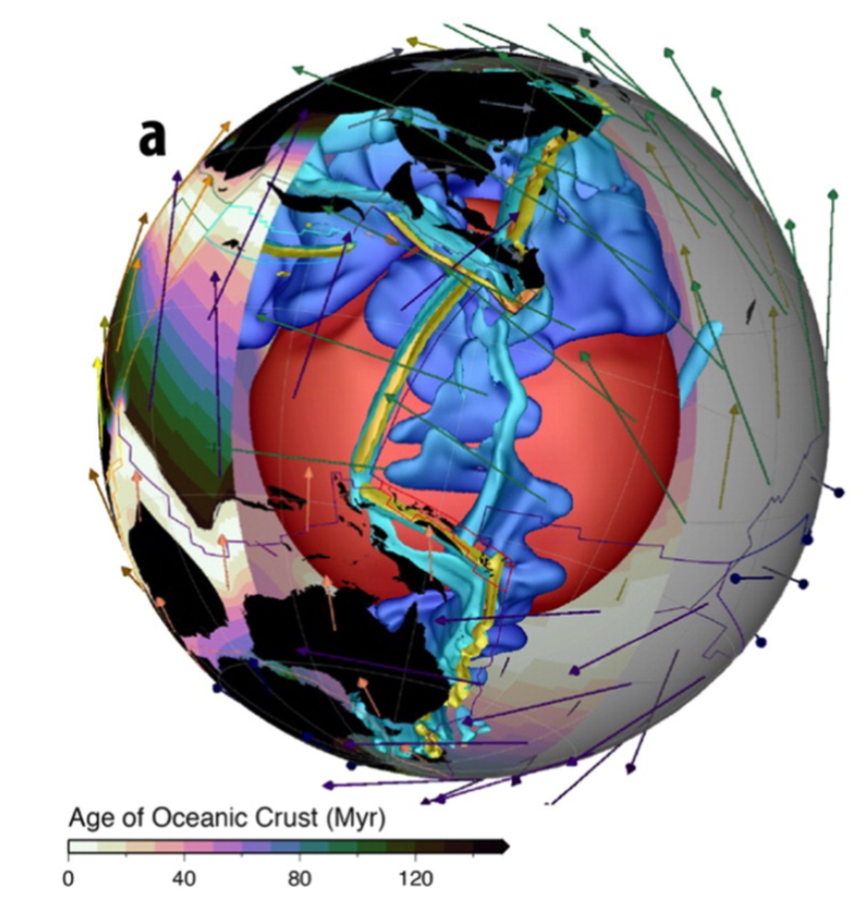
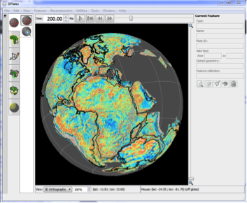
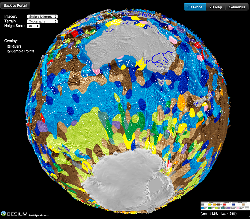
 GPlates is a free desktop software for the interactive visualisation of plate-tectonics. The compilation and documentation of GPlates 2.1 data was primarily funded by AuScope National Collaborative Research Infrastructure (NCRIS).
GPlates is developed by an international team of scientists and professional software developers at the EarthByte Project (part of AuScope) at the University of Sydney, the Division of Geological and Planetary Sciences (GPS) at CalTech, the Geodynamics team at the Geological Survey of Norway (NGU) and the Centre for Earth Evolution and Dynamics (CEED) at the University of Oslo. … Read more…

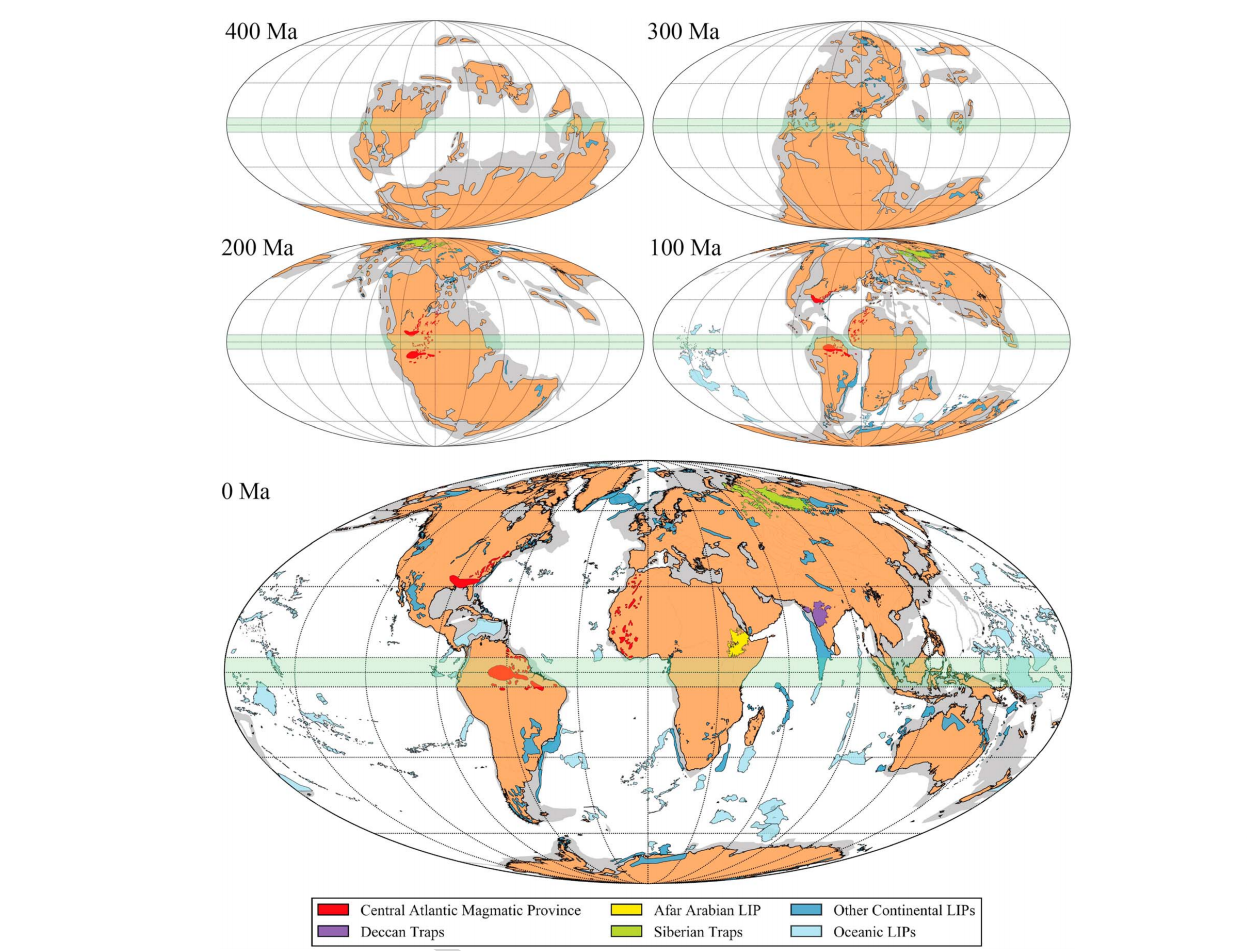
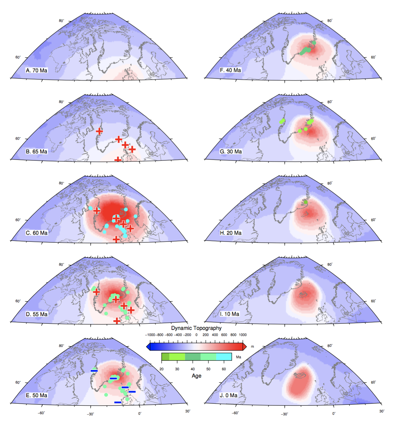
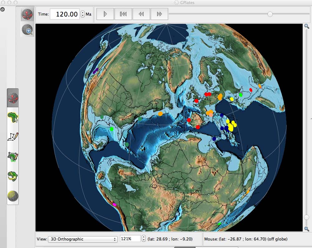
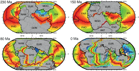
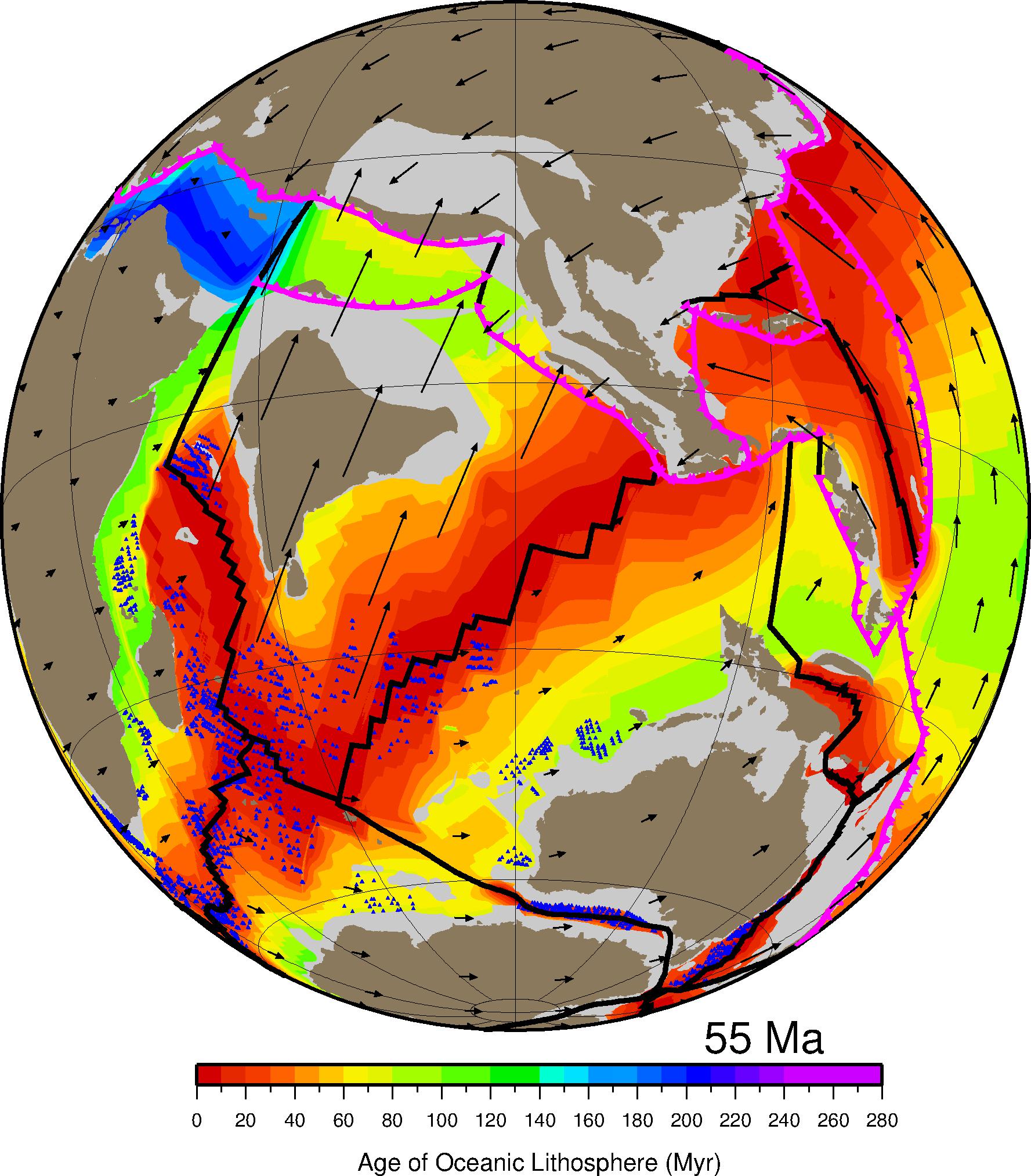
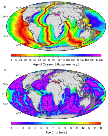
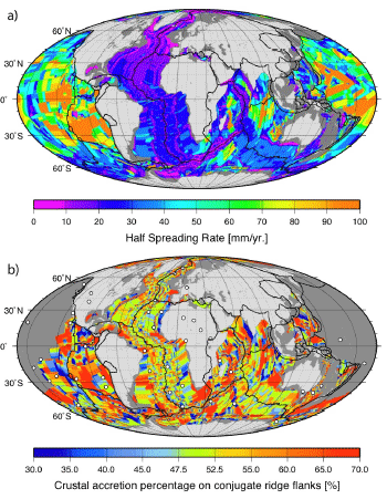
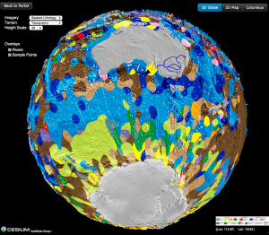
 Database that has been assembled for use with the program, GPlates. The paleomagnetic database presented here is made up of 1638 paleopoles compiled by Rob Van der Voo for his book, Paleomagnetism of the Atlantic, Tethys, and Iapetus Oceans. In addition to the spreadsheet of paleopoles, we have constructed five feature collections that can be used to visualize the paleomagnetic data using GPlates: 1) site localities, 2) paleopoles, 3) declination arrows, 4) paleolatitude labels, and a set of time-dependent rasters which plot the site locations, paleopoles, declination arrows, and paleolatitude labels on a set of plate tectonic reconstructions ( 0 – 540 Ma). The last section of this report is a detailed discussion of the paleomagnetic data for three-time intervals (40Ma, 285Ma, and 450Ma). The Supplementary Materials includes a program, “PaleoPolePlotter”, which GPlates users can use to build paleopoles, declination arrows, and paleolatitude labels from user-defined data sets
 The
The