Convolutional Neural Networks for Mineral Prospecting Through Alteration Mapping with Remote Sensing Data
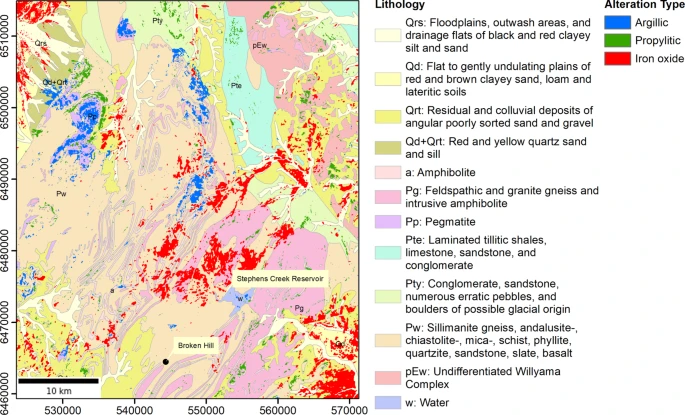
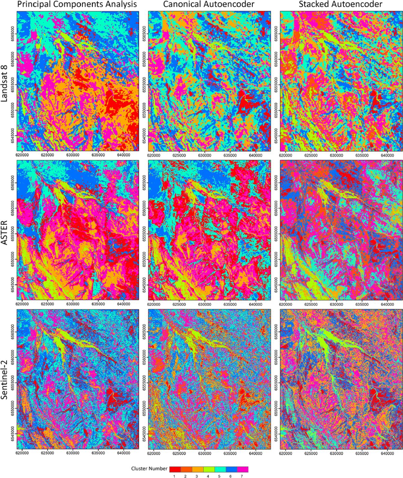
Traditional geological mapping methods, which rely on field observations and rock sample analysis, are inefficient for continuous spatial mapping of geological features such as alteration zones. Deep learning models such as convolutional neural networks (CNNs) have ushered in a transformative era in remote sensing data analysis. CNNs excel in automatically extracting features from image data … Read more…


