Part-time research assistant position in mineral exploration

The EarthByte Group is looking for a research assistant as part of our STELLAR industry project in collaboration with BHP. The casual position will be for up to 10 hours per week on average. The successful applicant can complete these hours through a regular weekly schedule or clump their hours into intensive weekly blocks (i.e., … Read more…

The use of machine learning in processing remote sensing data for mineral exploration

ASEG will be hosting their next technical meeting on Wednesday 20th April, featuring EarthByter Ehsan Farahbakhsh Title: The use of machine learning in processing remote sensing data for mineral exploration     Time:                    5:30 pm for 6:00 pm start Address:              Level 2, 99 on York (99 York St, Sydney. Room ‘York 2’) For virtual attendance, … Read more…

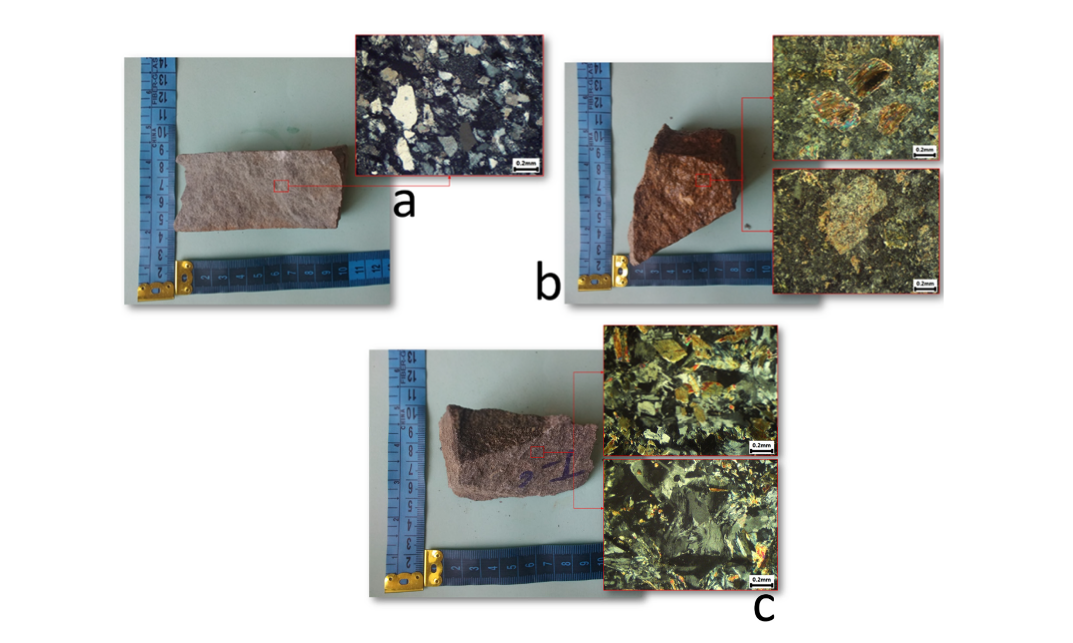
Remote Sensing: A Comparative Study of Convolutional Neural Networks and Conventional Machine Learning Models for Lithological Mapping Using Remote Sensing Data

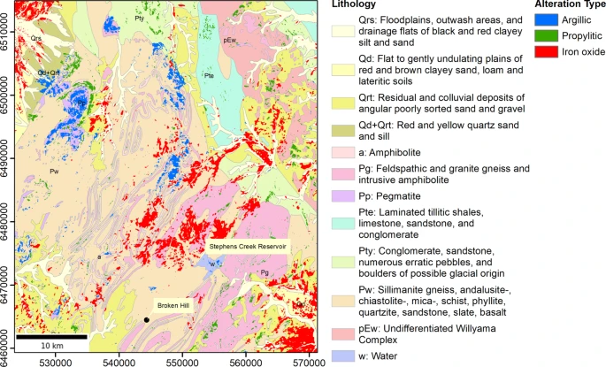
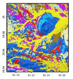
Lithological mapping is a critical aspect of geological mapping that can be useful in studying the mineralization potential of a region and has implications for mineral prospectivity mapping. This is a challenging task if performed manually, particularly in highly remote areas that require a large number of participants and resources. The combination of machine learning … Read more…

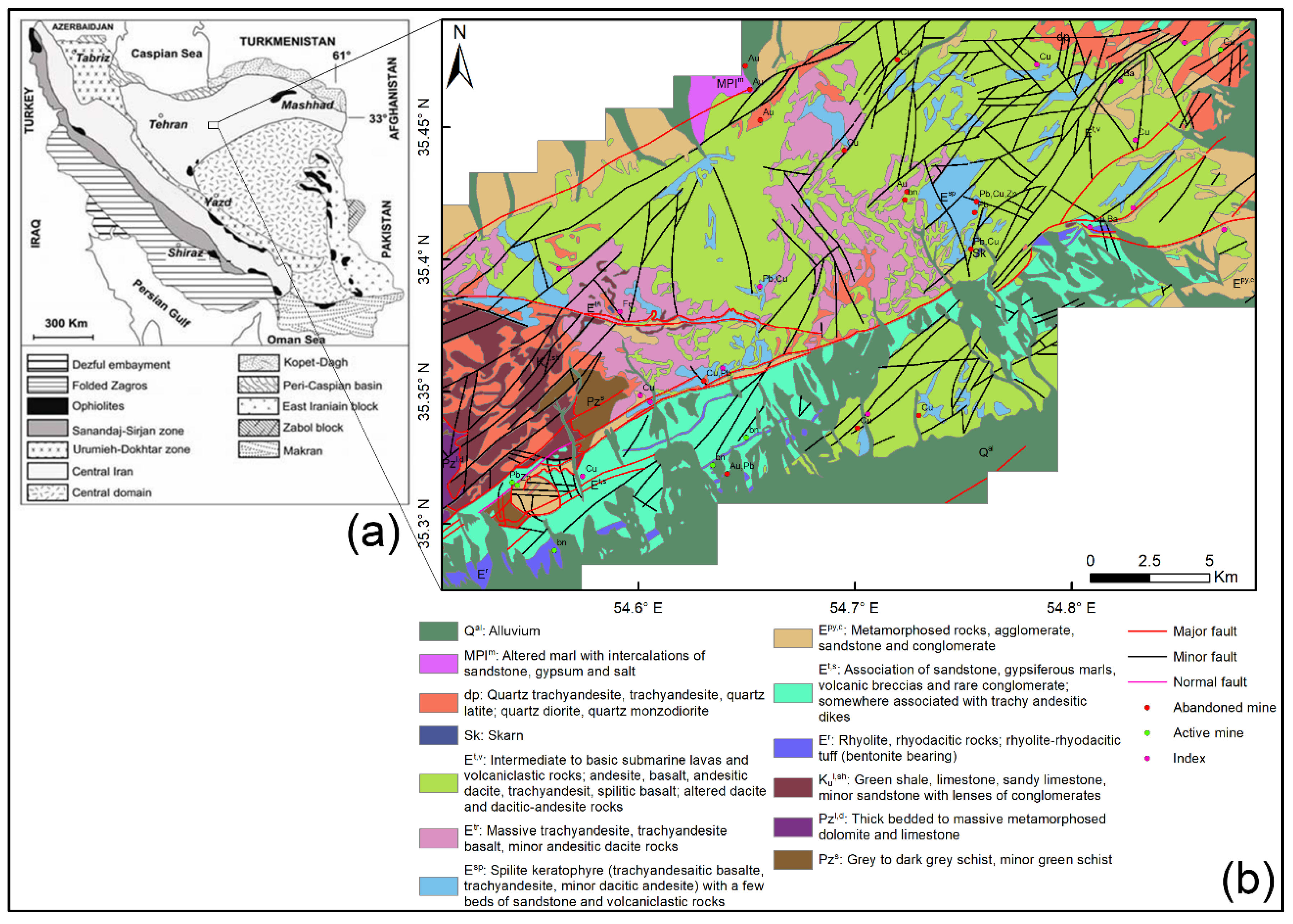
Integration of Selective Dimensionality Reduction Techniques for Mineral Exploration Using ASTER Satellite Data

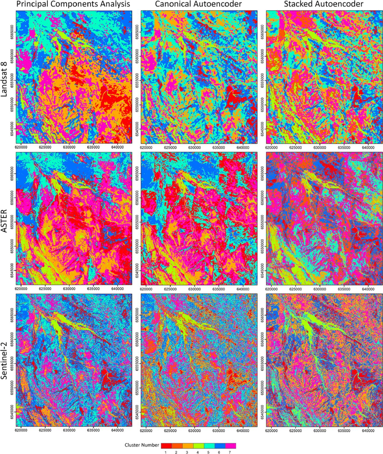
Abstract: There are a significant number of image processing methods that have been developed during the past decades for detecting anomalous areas, such as hydrothermal alteration zones, using satellite images. Among these methods, dimensionality reduction or transformation techniques are known to be a robust type of methods, which are helpful, as they reduce the extent … Read more…

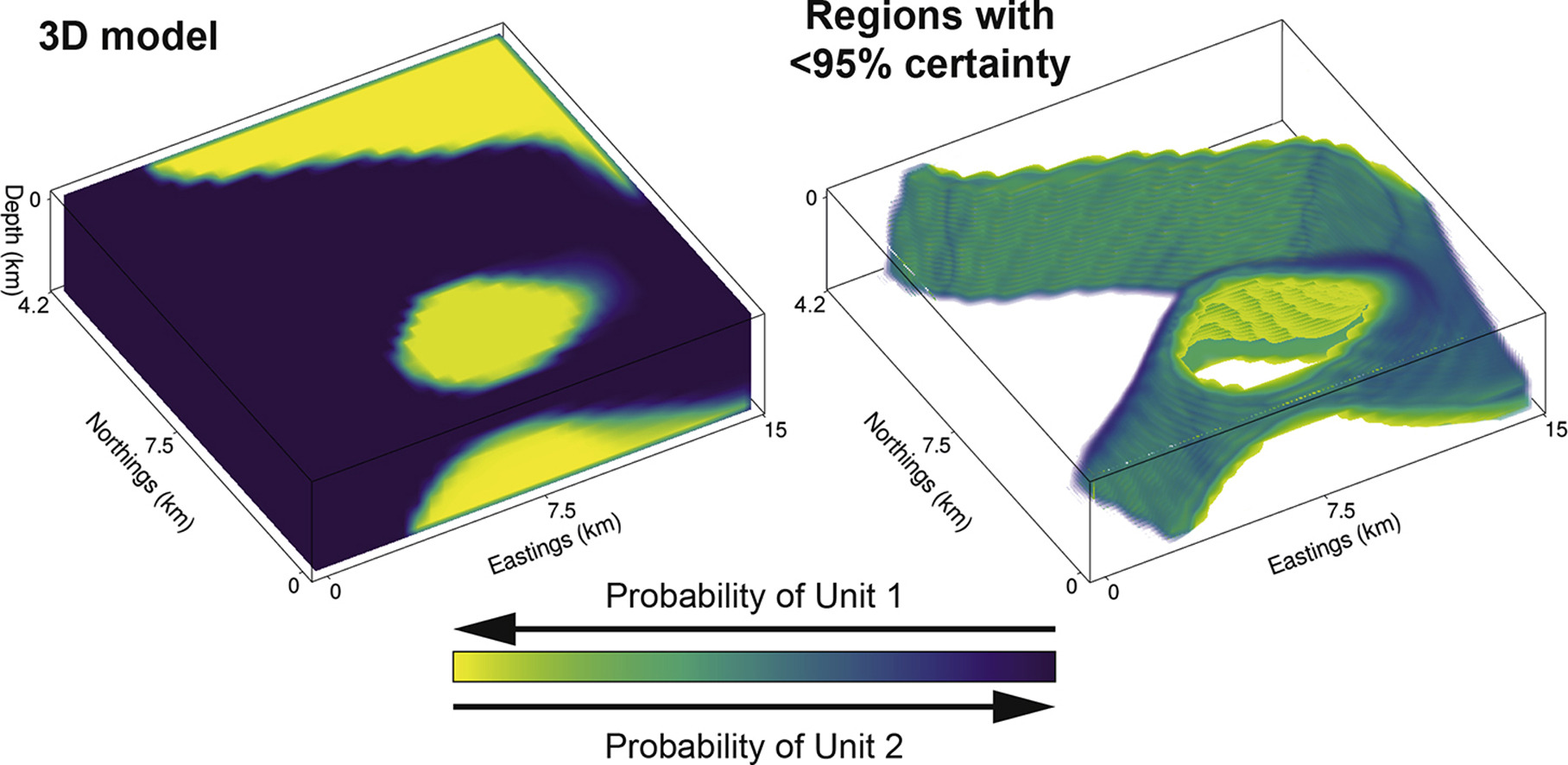
Bayesian geological and geophysical data fusion for the construction and uncertainty quantification of 3D geological models

Abstract: Traditional approaches to develop 3D geological models employ a mix of quantitative and qualitative scientific techniques, which do not fully provide quantification of uncertainty in the constructed models and fail to optimally weight geological field observations against constraints from geophysical data. Here, using the Bayesian Obsidian software package, we develop a methodology to fuse … Read more…

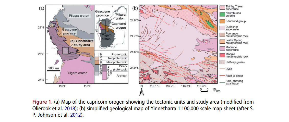
Computer vision-based framework for extracting tectonic lineaments from optical remote sensing data

Abstract: The extraction of tectonic lineaments from digital satellite data is a fundamental application in remote sensing. The location of tectonic lineaments such as faults and dykes are of interest for a range of applications, particularly because of their association with hydrothermal mineralization. Although a wide range of applications have utilized computer vision techniques, a … Read more…