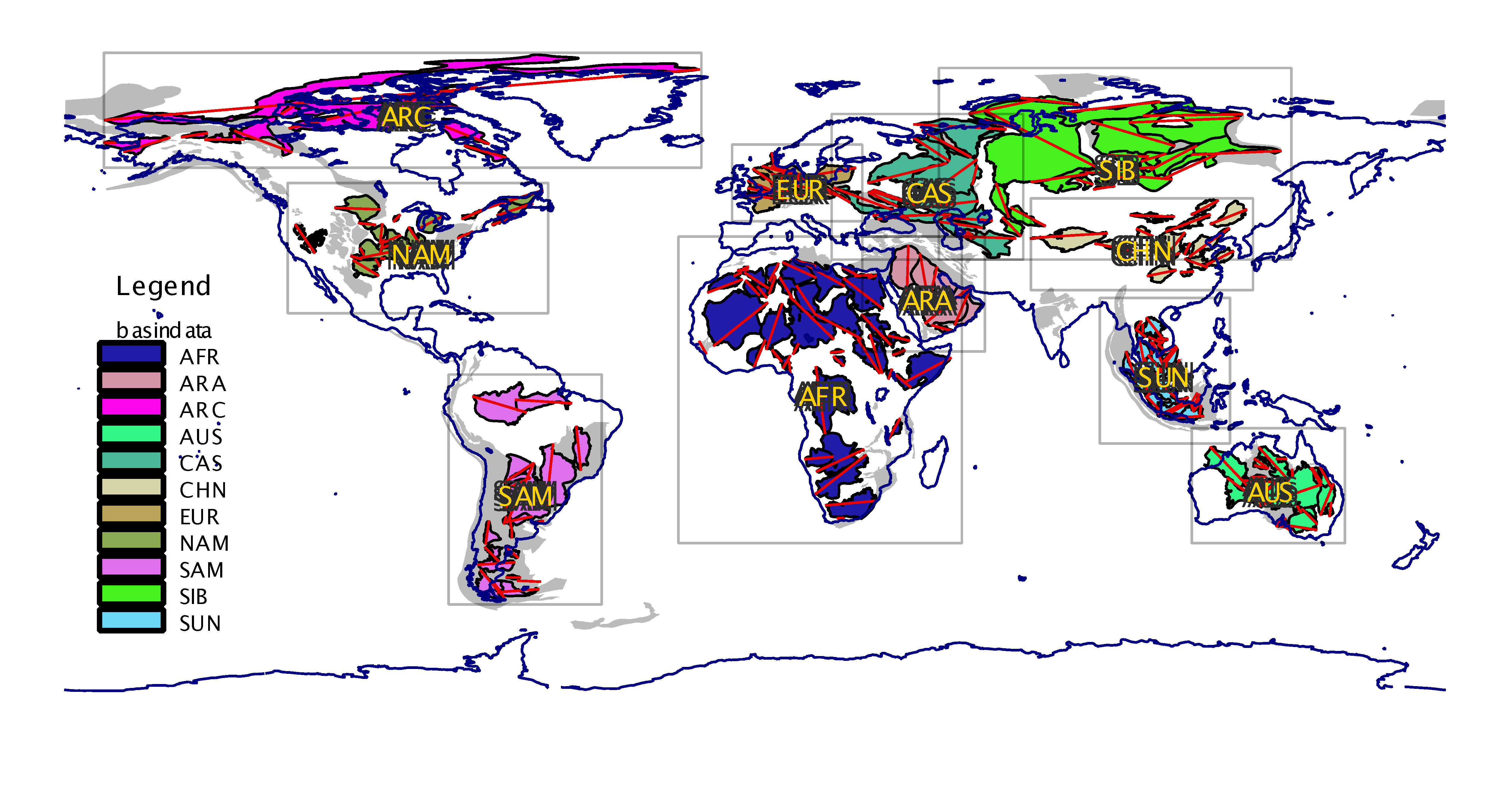
The ICONS atlas is a collection of basin data for over 240 intracontinental sedimentary basins, displaying crustal structure data, computed extension factors and tectonic subsidence grids and derivatives thereof as well as the dynamic topography evolution of a given basin. The atlas was compiled by Christian Heine as part of his PhD project investigating the formation and evolution of intracontinental basins.
The atlas can be accessed here.
![]()
