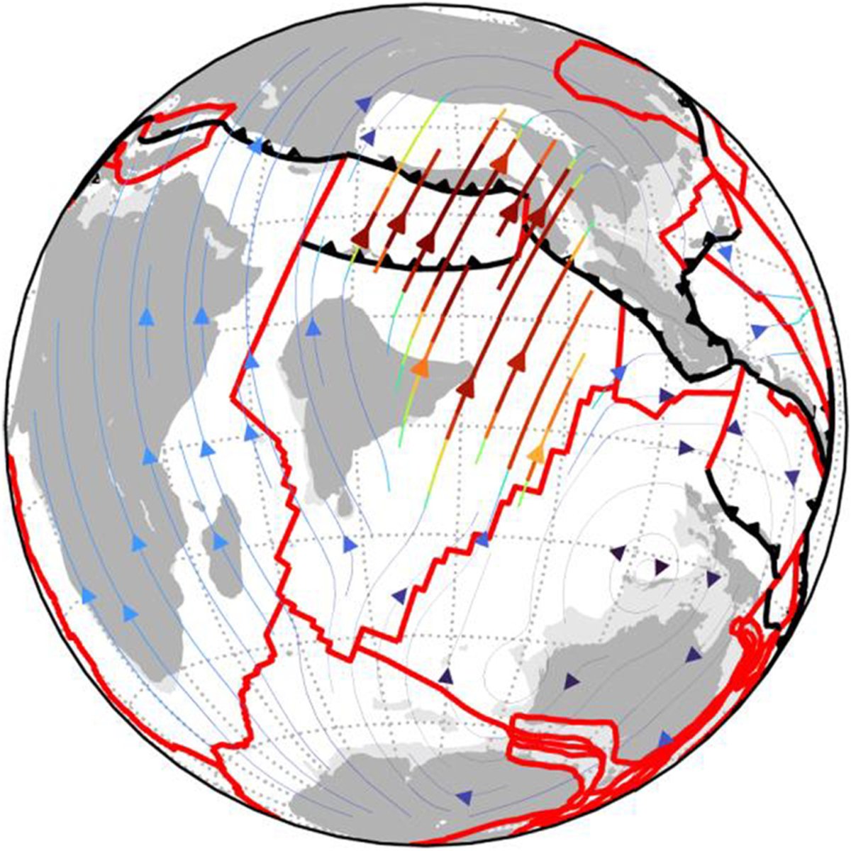
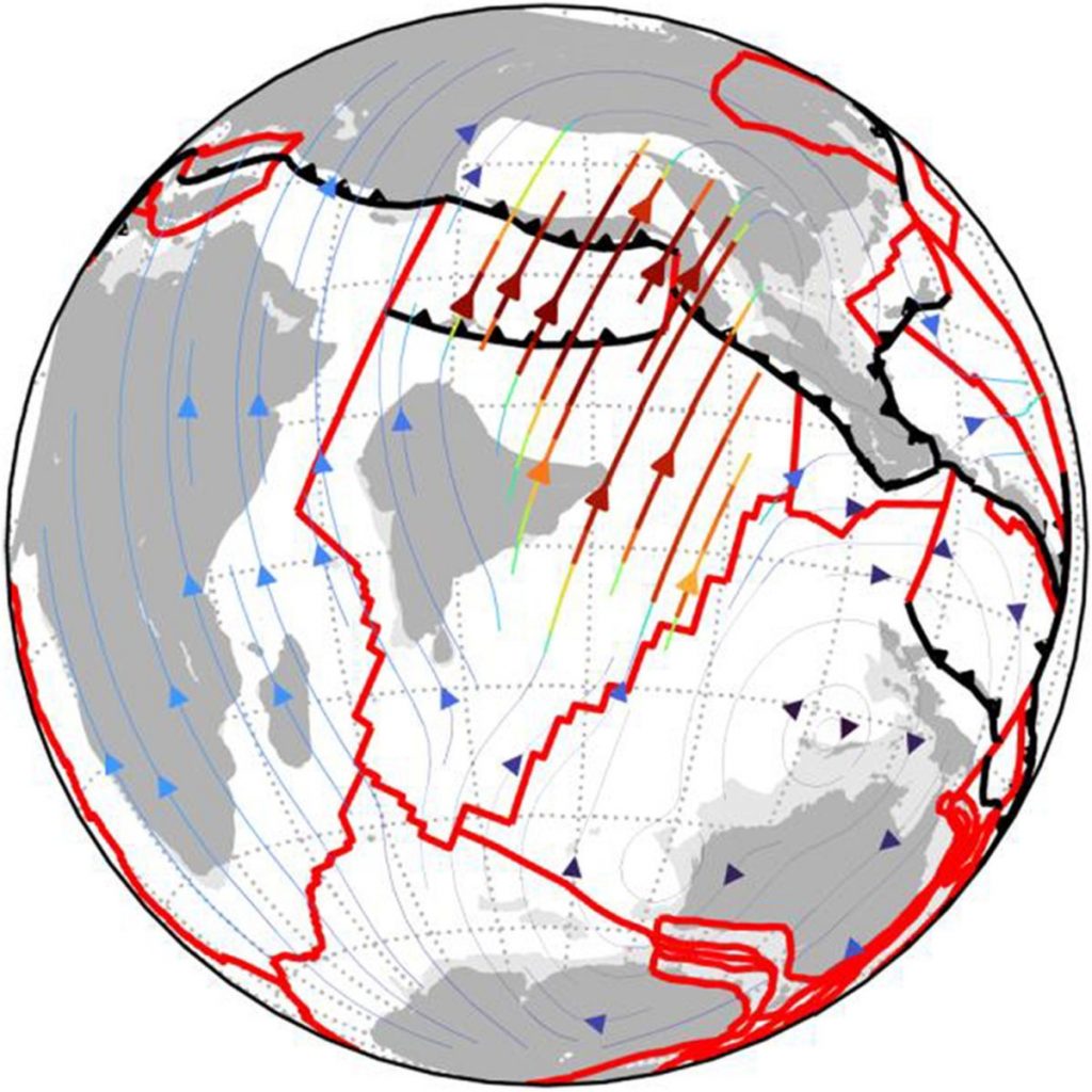
PyGPlates is an open-source Python library to visualize and edit plate tectonic reconstructions created using GPlates. The Python API affords a greater level of flexibility than GPlates to interrogate plate reconstructions and integrate with other Python workflows. GPlately was created to accelerate spatio-temporal data analysis leveraging pyGPlates and PlateTectonicTools within a simplified Python interface. This object-oriented package enables the reconstruction of data through deep geologic time (points, lines, polygons and rasters), the interrogation of plate kinematic information (plate velocities, rates of subduction and seafloor spreading), the rapid comparison between multiple plate motion models, and the plotting of reconstructed output data on maps. All tools are designed to be parallel-safe to accelerate spatio-temporal analysis over multiple CPU processors.
Mather, B.R., Müller, R.D., Zahirovic, S., Cannon, J., Chin, M., Ilano, L., Wright, N.M., Alfonso, C., Williams, S., Tetley, M., Merdith, A. (2023) Deep time spatio-temporal data analysis using pyGPlates with PlateTectonicTools and GPlately. Geoscience Data Journal, 1–8. Available from: https://doi.org/10.1002/gdj3.185
![]()


