Carbonate platform evolution in response to the Mid – Pleistocene climate transition on the North-West Shelf of Australia: Insights from forward stratigraphic modelling
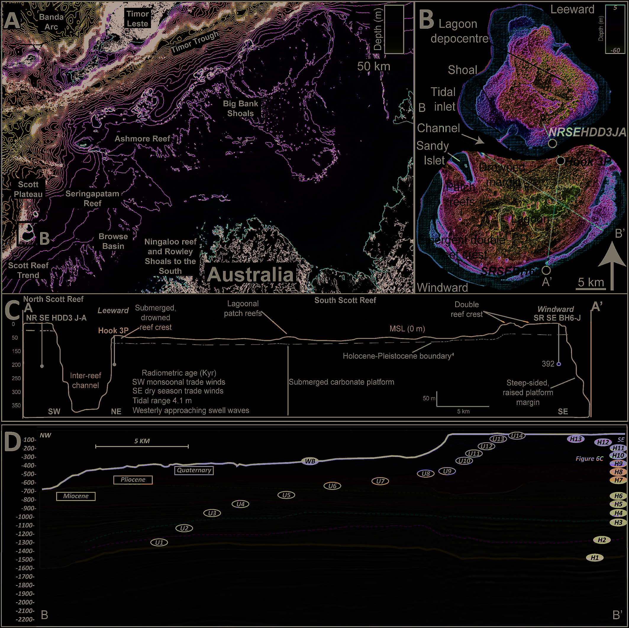
Regional bathymetric map showing Scott Reef's location on Australia's Northwest Shelf relative to nearby reefs and tectonic features.

Researchers used forward stratigraphic modelling to reconstruct how Scott Reef, on Australia's Northwest Shelf, grew and changed shape during the Middle Pleistocene Transition, a period when ice age cycles became longer and more extreme. They found that a major sea-level fall around 1.2 million years ago exposed and karstified the reef, while a later long … Read more…
Spatial variability of wave signatures and profile morphotypes of beaches in estuaries and bays across different tidal regimes

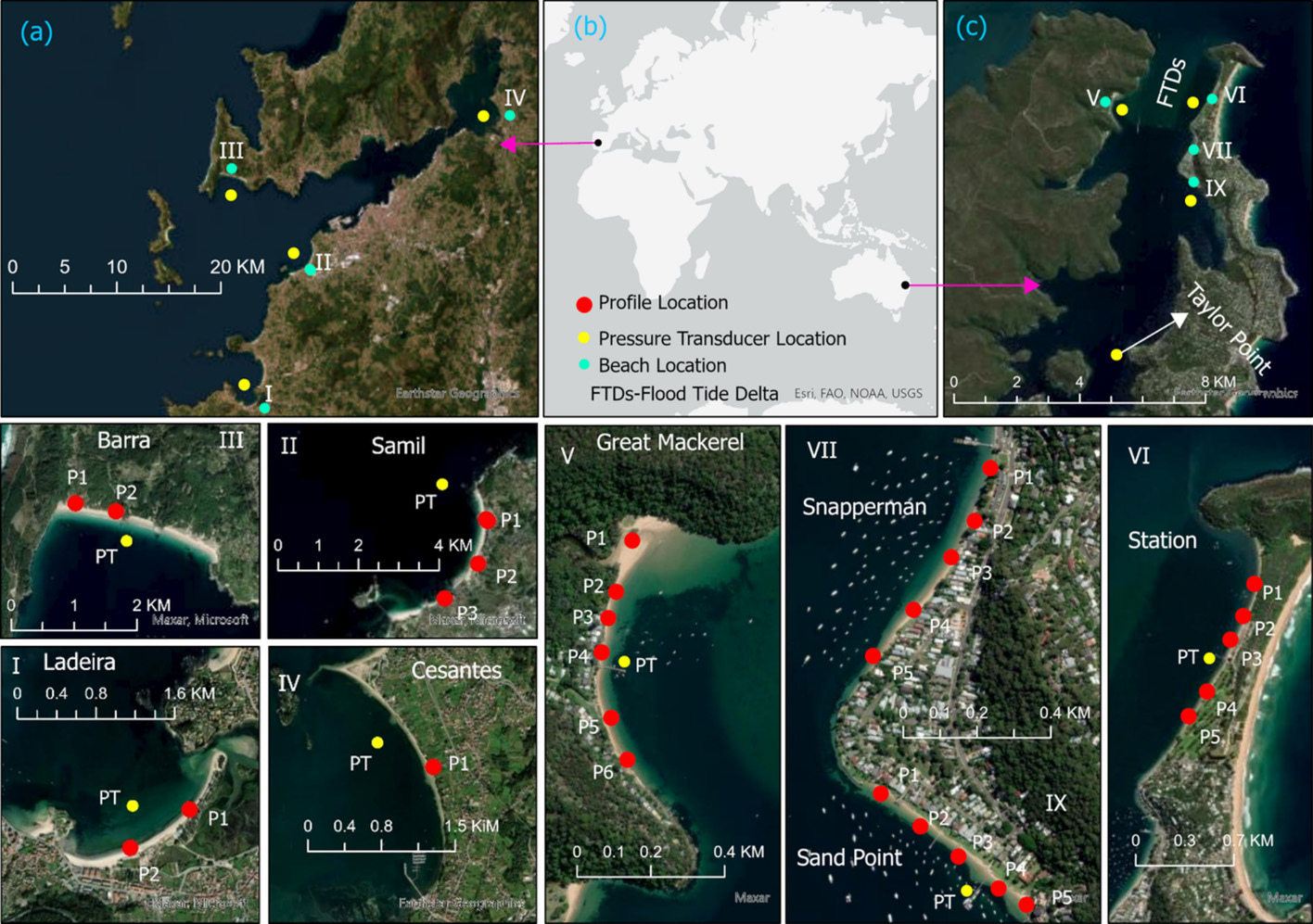
Map showing the Ría de Vigo and Pittwater estuaries with the locations of eight studied beaches and wave measurement sites.

This study compares sandy beaches within estuaries and bays in a microtidal system (Pittwater, Sydney) and a mesotidal system (Ría de Vigo, Spain) to understand how waves, tides and sediment shape beach profiles. Swell waves dominate wave energy in both settings, but their relative contribution decreases further from the estuary entrance, where wind and infragravity … Read more…

Terra Nova: Brief immersion of southern Australia by change in relative plate speed

Dynamic subsidence and uplift of plates are often explained by the vertical motion of density anomalies in the mantle. Such models predict surface vertical motion rates of less than 100 m Myr−1 at long-wavelengths with a timespan of tens of Myr. However, during periods of relative sea-level stability, some of the phases of vertical motion … Read more…

G-cubed: Slow Geodynamics and Fast Morphotectonics in the Far East Tethys

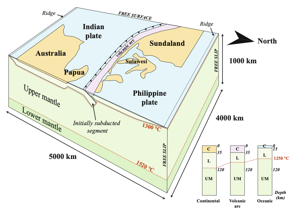
How can the sluggish, long-wavelength mantle convection be expressed by so many time and space scales of morphotectonic activity? To investigate these relationships, we explore the Java-Banda subduction zone, where geodynamic records cluster. In the far-East Tethys, the exceptionally arcuate Banda subduction zone circumscribes the deepest oceanic basin on Earth, seismotectonic activity slices the upper … Read more…

Basin Research: Modelling the role of dynamic topography and eustasy in the evolution of the Great Artesian Basin

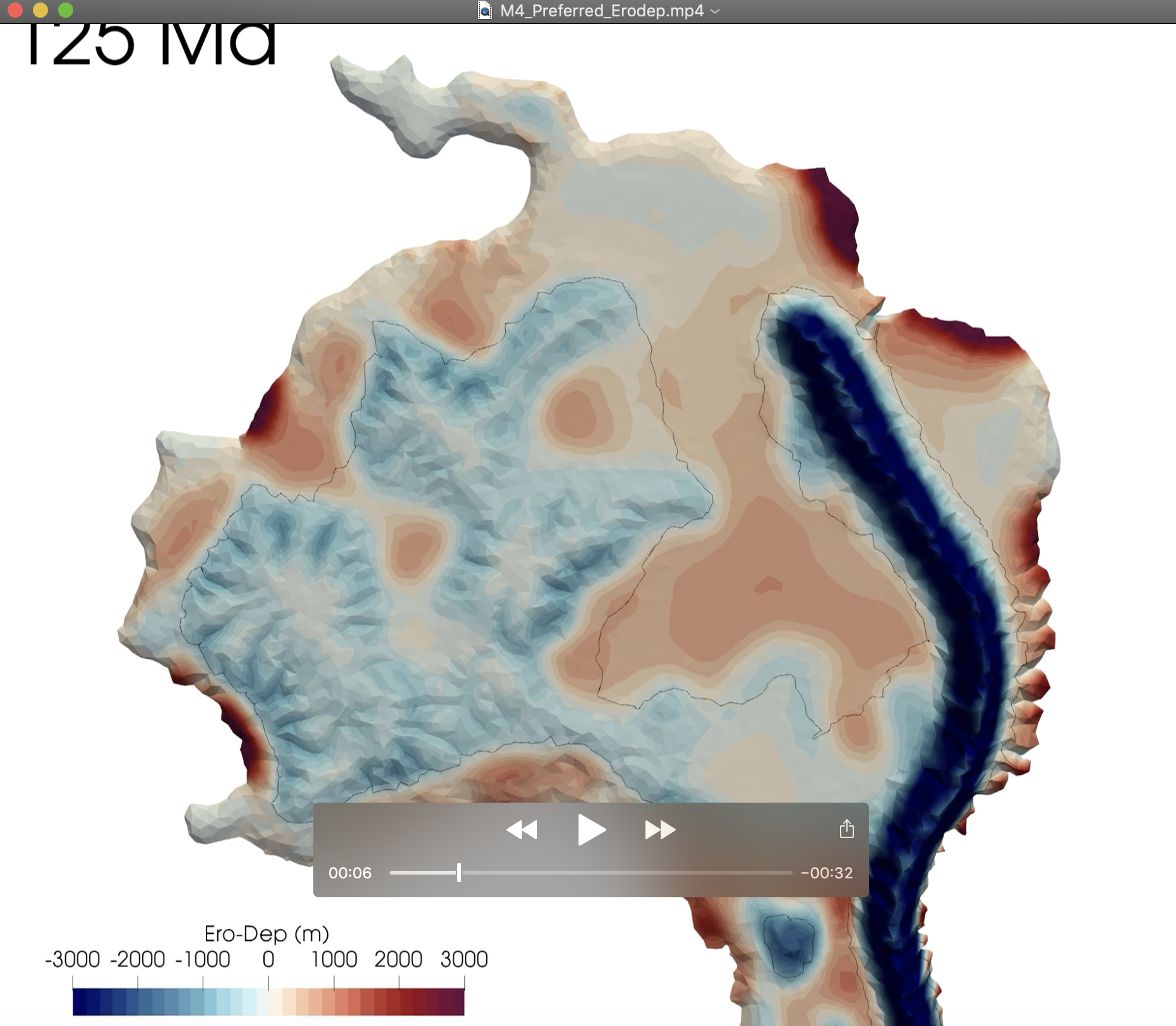
Widespread flooding of the Australian continent during the Early Cretaceous, referred to as the Eromanga Sea, deposited extensive shallow marine sediments throughout the Great Artesian Basin (GAB). This event had been considered ‘out of sync’ with eustatic sea level and was instead solely attributed to dynamic subsidence associated with Australia’s passage over eastern Gondwanan subducted … Read more…