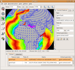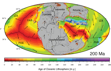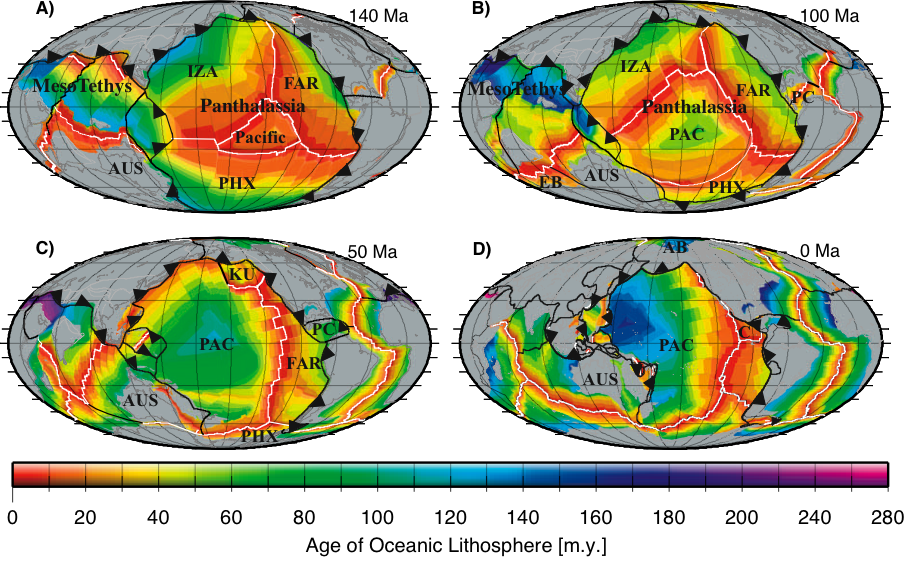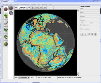
 The GPlates Portal is a free and interactive cloud-based tool that enables the visualisation of cutting-edge geoscience datasets. Using a published plate kinematic model, datasets can be reconstructed back through time to the Jurassic, 200 million years ago.
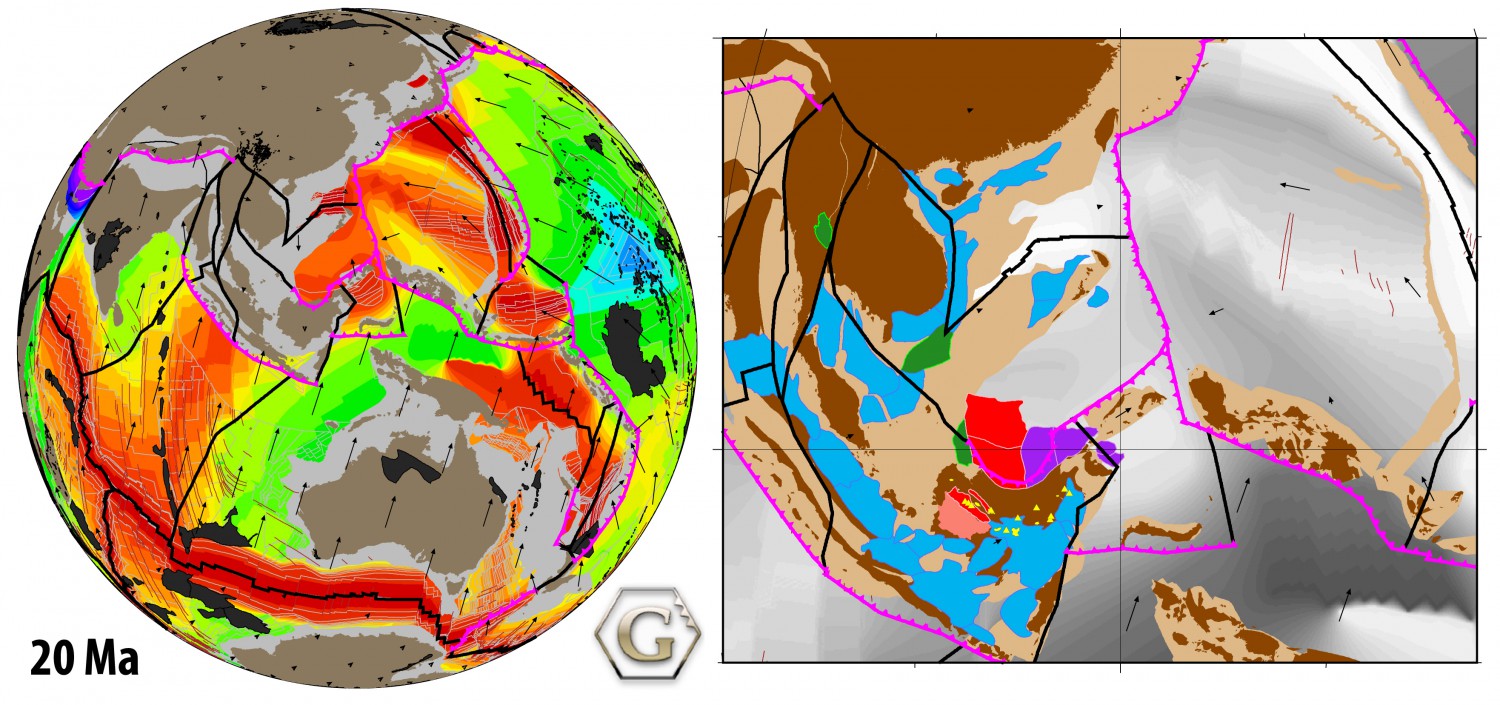
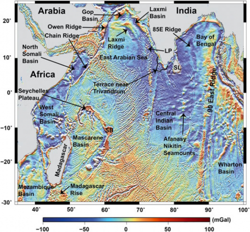
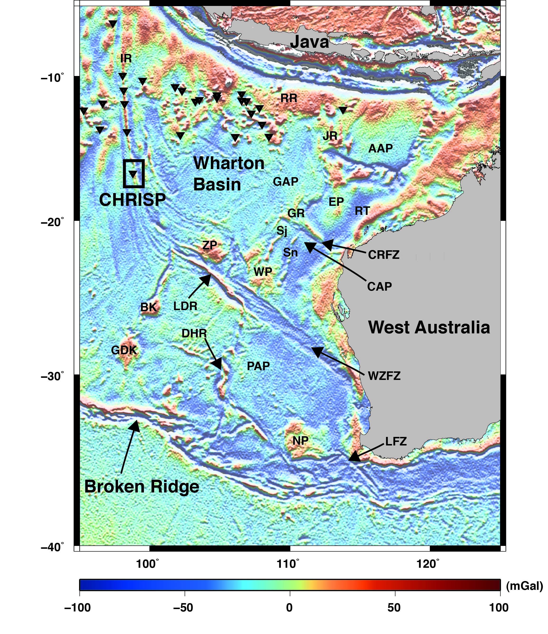
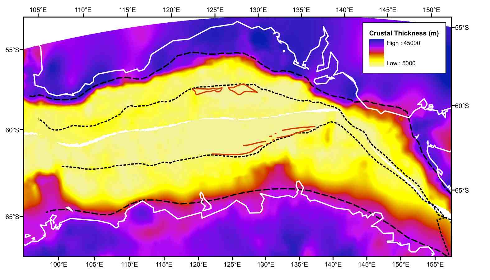
Currently, global satellite-derived vertical gravity gradient data can be visualised via the Portal, and global maps of free-air gravity anomalies and magnetic anomalies can be tectonically reconstructed.
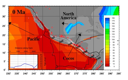
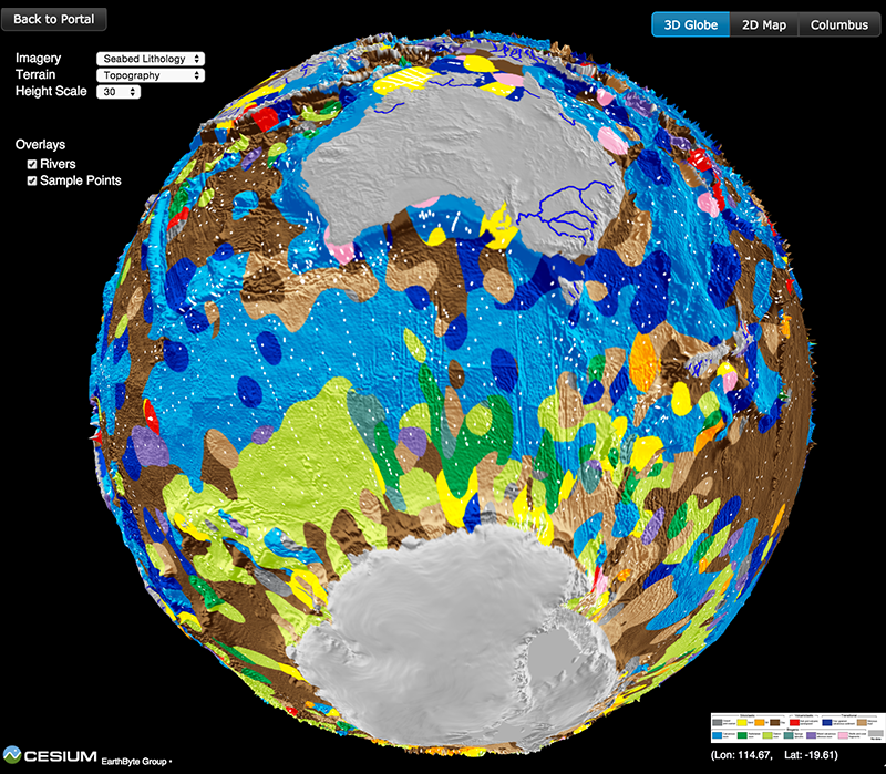
The GPlates Portal is also the gateway to the Paleomap Maker, a web service designed to provide researchers with plate-tectonic data reconstruction and visualization services. The core reconstruction engine is powered by the cutting-edge open-source plate-tectonic reconstruction software, GPlates, and the visualization is made available by using Matplotlib Basemap Toolkit. … Read more…