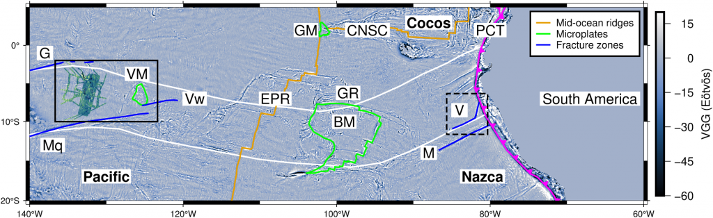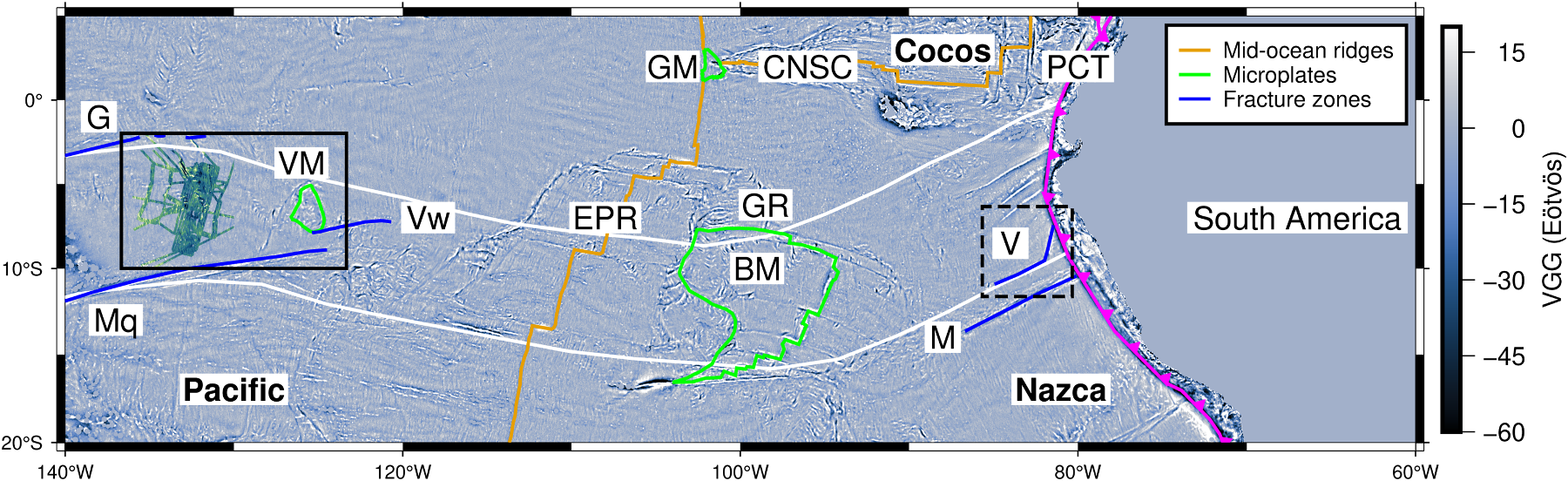
The Viru Microplate study uses high-resolution satellite gravity data together with new shipboard bathymetry to reveal a previously unknown episode of chaotic seafloor spreading between 44 and 28 million years ago at the Pacific-Farallon plate boundary. This episode produced a newly identified microplate, named the Viru Microplate, along with ridge jumps and propagating spreading ridges. The timing of these features lines up with major reorganisations of the Pacific and Farallon plates, suggesting that global changes in plate stresses can trigger complex, localised tectonic activity far from where the reorganisation originates.
Abstract. Chaotic spreading episodes create complex seafloor features, such as oblique tectonic fabric and pseudofaults, that challenge the assumptions of classic plate tectonic theory. Such episodes are often linked to major plate reorganizations, yet their detailed evolution and implications remain poorly constrained. Here we present geophysical evidence for a previously undocumented chaotic spreading event (44–28 Ma) and the formation of a new microplate, the Viru Microplate, at the Pacific-Farallon plate boundary in the eastern Pacific. By integrating high-resolution gravity data from the recent Surface Water Ocean Topography (SWOT) mission with new multibeam bathymetry collected during a 2024 R/V Kilo Moana voyage, we resolve a sequence of ridge propagation events, ridge jumps, and microplate formation that accompanied this chaotic episode. The spatial and temporal synchronism of these features with major reorganizations of the Pacific and Farallon plates suggests that global-scale plate stress field changes directly modulated divergent boundary behavior. Our findings demonstrate that global plate reorganizations can drive local-scale ridge complexity and microplate formation far from the triggering sites, providing diagnostic markers for regional and global tectonic change.