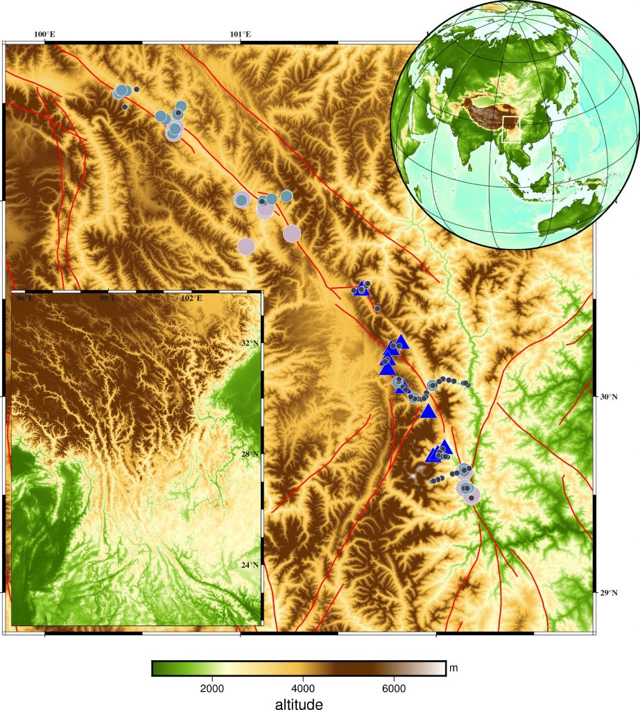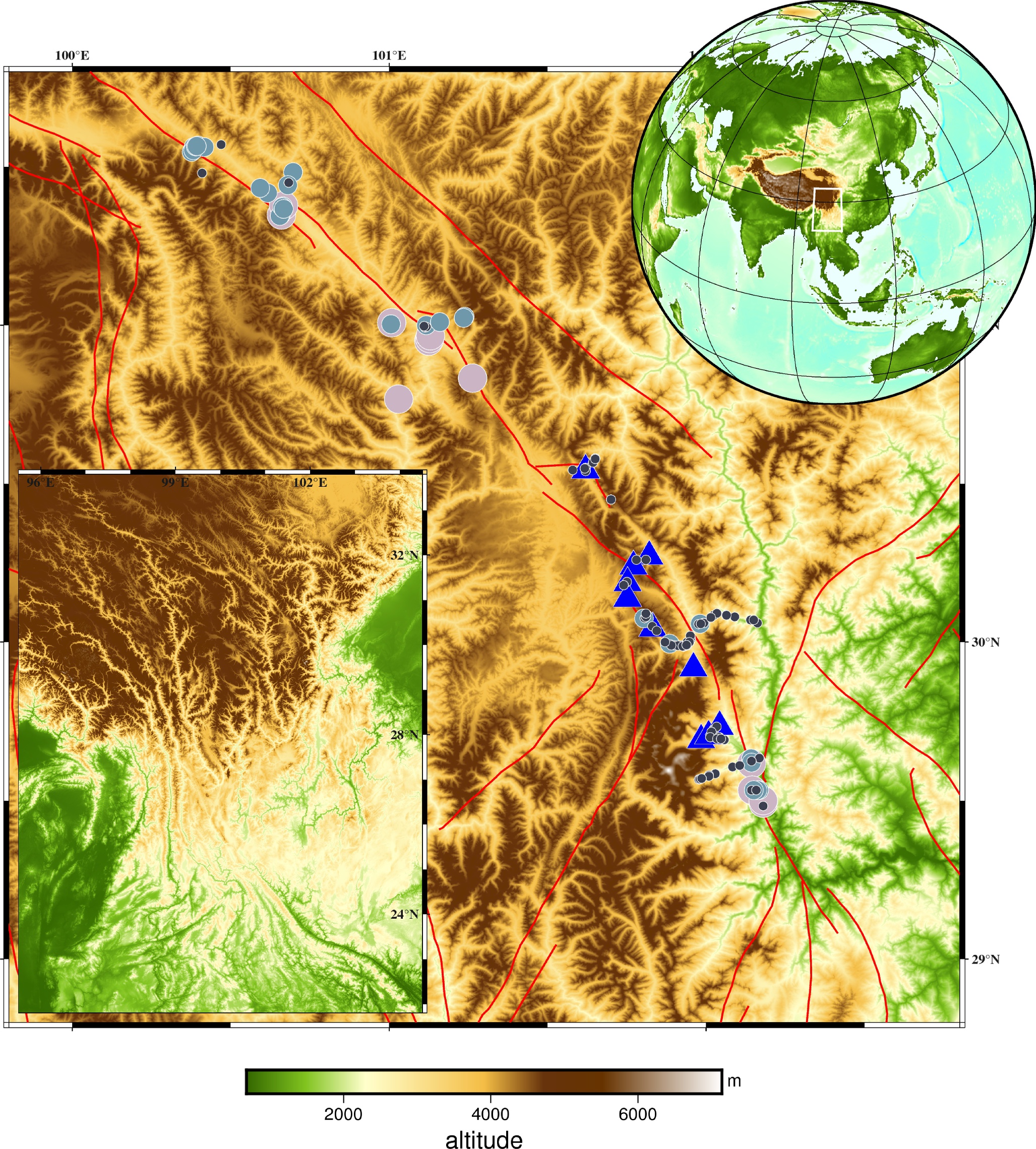
Scientists studied granitoids from the Kangding area in the southeastern Tibetan Plateau, using new elemental and isotopic data, including the first silicon isotope measurements for these rocks, to trace how the plateau’s crust grew eastward over the last 35 million years. The granites fall into two groups, and one of them shows a temporary shift during the early Miocene (about 20 to 10 million years ago) towards melts containing more metasedimentary material. This points to a sequence of crustal imbrication, stress build-up with sediment involvement, and then stress release that shaped the plateau’s asymmetric eastern margin.
Abstract. The India–Asia collision continuously loads the Tibetan Plateau (TP), driving its Cenozoic eastward growth. This process has caused extensive crustal deformation and a diverse magmatic response. Here, we report on newly identified 35−6.5 Ma granitoids from Kangding area in southeastern (SE) TP. Based on elemental and isotopic data obtained from this study, including the first silicon isotope study of the Kangding Cenozoic granites, and data from the literature, the samples can be divided into two subgroups. Subgroup 1 (Sg1) has diagnostic geochemical characteristics (lower MgO, εNd(t), εHf(t)‐zircon, and higher K 2 O/Na 2 O, sum of light rare earth elements, Th, Th/U, Rb/Sr, ( 87 Sr/ 86 Sr) i totally) compared with Sg2. Sg1 also shows a strong correlation ( R 2 = 0.82) between δ 30 Si and Al/Si, while Sg2 does not. The features of Sg1 are best explained by a significant contribution from metasediments. Based on the restricted ages of the Sg1 magmas, we identify a temporary shift in the melt source during the early Miocene (ca. 20–10 Ma). At that time, the source involved the addition of metasedimentary materials, in contrast to the sediment‐poor source during the rest of the Cenozoic. Based on previous geophysical and regional deformation observations, the growth of the TP involved a gradual accentuation of imbrication structures. This was followed by the formation of a stress overload zone and the involvement of a crustal sedimentary source. Lastly, stress unloading formed an asymmetric topography across the SE plateau margin.