
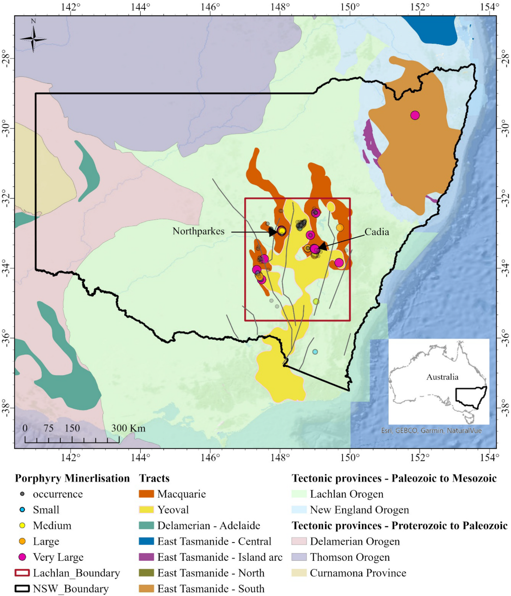
Researchers developed a machine learning framework to predict where copper–gold porphyry deposits are likely to occur in the Lachlan Fold Belt of New South Wales, Australia. By combining geological, geophysical and remote sensing data with a positive-unlabelled bagging and random forest approach, the model successfully captures 95% of known mineral occurrences within just 5% of the study area. The approach highlights key features such as magnetic anomalies, fault proximity and alteration signatures, and identifies promising new greenfield zones for future exploration of critical minerals.
Abstract. The growing demand for critical minerals in green technologies has increased the need to discover deep deposits. This study uses machine learning-based mineral prospectivity mapping to predict Cu–Au porphyry mineralisation in the Lachlan Fold Belt, New South Wales, Australia. Using a positive-unlabelled bagging approach with a random forest classifier, the framework addresses challenges like limited negative samples and complex exploration datasets. Incorporating geological, geophysical, and remote sensing data with deposit size-based weighting, the framework generates precise maps of mineral prospectivity. High-potential zones in the porphyry-rich Lachlan Fold Belt, were identified and ranked into four exploration priorities based on key geological features. The model captures 95% of known mineral occurrences within just 5% of the study area, demonstrating high accuracy and efficiency. Additionally, the model identifies the most important data layers and features for the modelling process. Among them, four particularly important features stand out: the first vertical derivative of total magnetic intensity that reveals subsurface magnetic variations linked to mineralisation; distance to faulted boundaries that identify pathways for mineralising fluids; the thorium-to-potassium ratio indicating alteration processes related to ore formation; and distance to intrusive boundaries reflecting the role of magmatic events in porphyry systems. These features played a significant role in discriminating between mineralised and non-mineralised areas. The generated prospectivity map reveals a clear spatial correlation between areas of high probability and known mineral occurrences while also highlighting several potential greenfield zones for further exploration.
Code and data: Zenodo: 10.5281/zenodo.14545436

