Cao et al., 2018
Cao, X., Flament, N, Müller, R.D. and Li, S., 2018, The dynamic topography of eastern China since the latest Jurassic Period , Tectonics.
Müller et al., 2017
Müller R.D., Hassan, R., Gurnis, M., Flament, N., and Williams, S.E., 2017, Dynamic topography of passive continental margins and their hinterlands since the Cretaceous, Gondwana Research, in press, accepted 21 March 2017.
Barnett-Moore et al., 2017
Rubey et al., 2017
Rubey, M., Brune, S., Heine, C., Davies, D. R., Williams, S. E., and Müller R. D.: Global patterns of Earth’s dynamic topography since the Jurassic, Solid Earth Discuss., doi:10.5194/se-2017-26, in press, 2017.
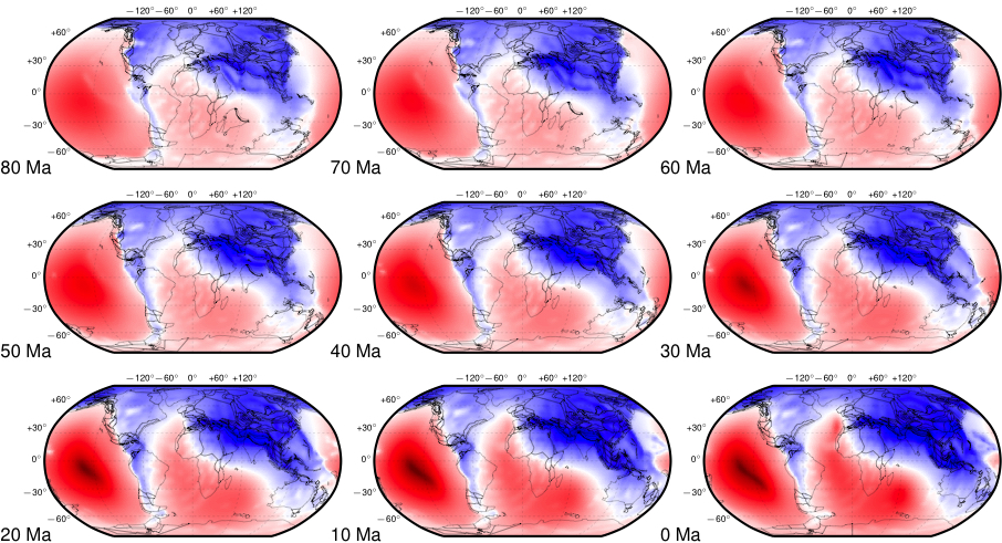
Müller et al., 2016
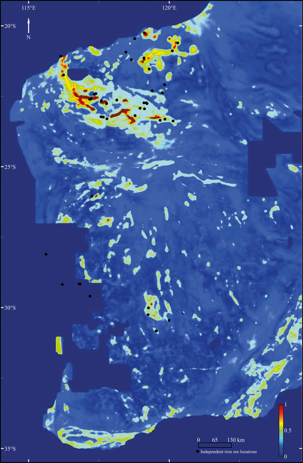
Müller, R. D., Flament, N., Matthews, K. J., Williams, S. E., & Gurnis, M. (2016). Formation of Australian continental margin highlands driven by plate-mantle interaction.. Earth and Planetary Science Letters, 441, 60-70. http://dx.doi.org/10.1016/j.epsl.2016.02.025
- Model 1 ( Müller et al. 2016) — View or Download
- Model 2 (Müller et al., 2016) — View or Download
- Model 3 (Müller et al., 2016) — View or Download
- Model 4 (Müller et al., 2016) — View or Download
Zahirovic et al., 2016a
Zahirovic, S., Matthews, K. J., Flament, N., Müller, R. D., Hill, K. C., Seton, M., & Gurnis, M. (2016a). Tectonic evolution and deep mantle structure of the eastern Tethys since the latest Jurassic. Earth-Science Reviews, 162, 293-337.
- Case 1 (Zahirovic et al., 2016a) — View or Download
- Case 2 (Zahirovic et al., 2016a) — View or Download
- Case 3 (Zahirovic et al., 2016a) — View or Download
- Case 4 (Zahirovic et al., 2016a) — View or Download
Zahirovic et al.,2016b
Zahirovic, S., Flament, N., Müller, R. D, Seton, M., & Gurnis, M. (2016b). Large fluctuations of shallow seas in low-lying Southeast Asia driven by mantle flow. Geochemistry, Geophysics, Geosystems, 17(9), 3589-3607.
Flament et al., 2015
Flament, N., Gurnis, M., Müller R. D., Bower, D. J., & Husson, L. (2015). Influence of subduction history on South American topography. Earth and Planetary Science Letters, 430, 9-18, http://dx.doi.org/10.1016/j.epsl.2015.08.006.
- Case 1 (Flament et al., 2015) — View or Download
- Case 2 (Flament et al., 2015) — View or Download
- Case 3 (Flament et al., 2015) — View or Download
- Case 4 (Flament et al., 2015) — View or Download
Seton et al., 2015
Seton, M., Flament, N., Whittaker, J., Müller, R. D., Gurnis, M., & Bower, D. J. (2015). Ridge subduction sparked reorganization of the Pacific plate-mantle system 60.50 million years ago. Geophysical Research Letters, 42(6), 1732-1740.
Bower et al., 2015
Bower, D. J., Gurnis, M., & Flament, N. (2015). Assimilating lithosphere and slab history in 4-D Earth models. Physics of the Earth and Planetary Interiors, 238, 8-22.

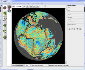
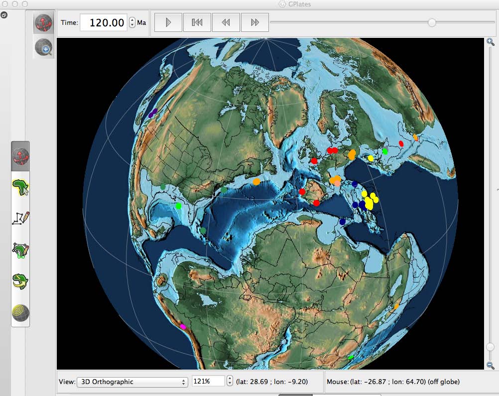
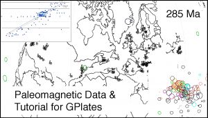 Database that has been assembled for use with the program, GPlates. The paleomagnetic database presented here is made up of 1638 paleopoles compiled by Rob Van der Voo for his book, Paleomagnetism of the Atlantic, Tethys, and Iapetus Oceans. In addition to the spreadsheet of paleopoles, we have constructed five feature collections that can be used to visualize the paleomagnetic data using GPlates: 1) site localities, 2) paleopoles, 3) declination arrows, 4) paleolatitude labels, and a set of time-dependent rasters which plot the site locations, paleopoles, declination arrows, and paleolatitude labels on a set of plate tectonic reconstructions ( 0 – 540 Ma). The last section of this report is a detailed discussion of the paleomagnetic data for three-time intervals (40Ma, 285Ma, and 450Ma). The Supplementary Materials includes a program, “PaleoPolePlotter”, which GPlates users can use to build paleopoles, declination arrows, and paleolatitude labels from user-defined data sets
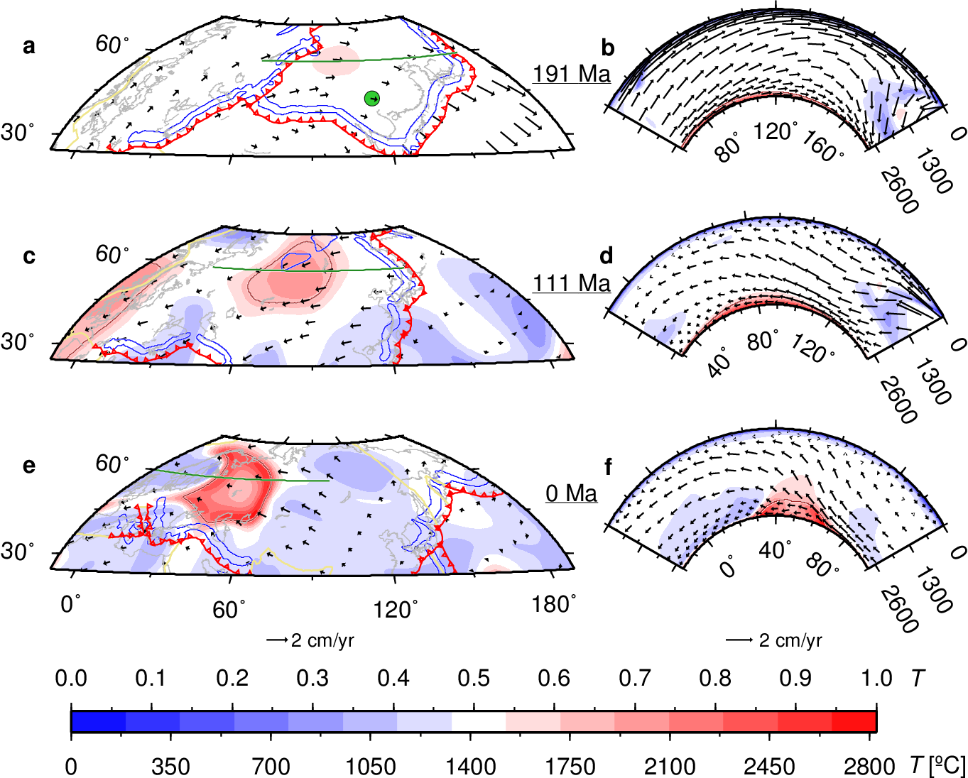
 Citation