Join us 11am–12pm this Wednesday (2021-09-01) for this week’s installment of the EarthByte seminar series! This week’s speakers are Sebastian Haan and Henry Lydecker of the Sydney Informatics Hub at the University of Sydney.
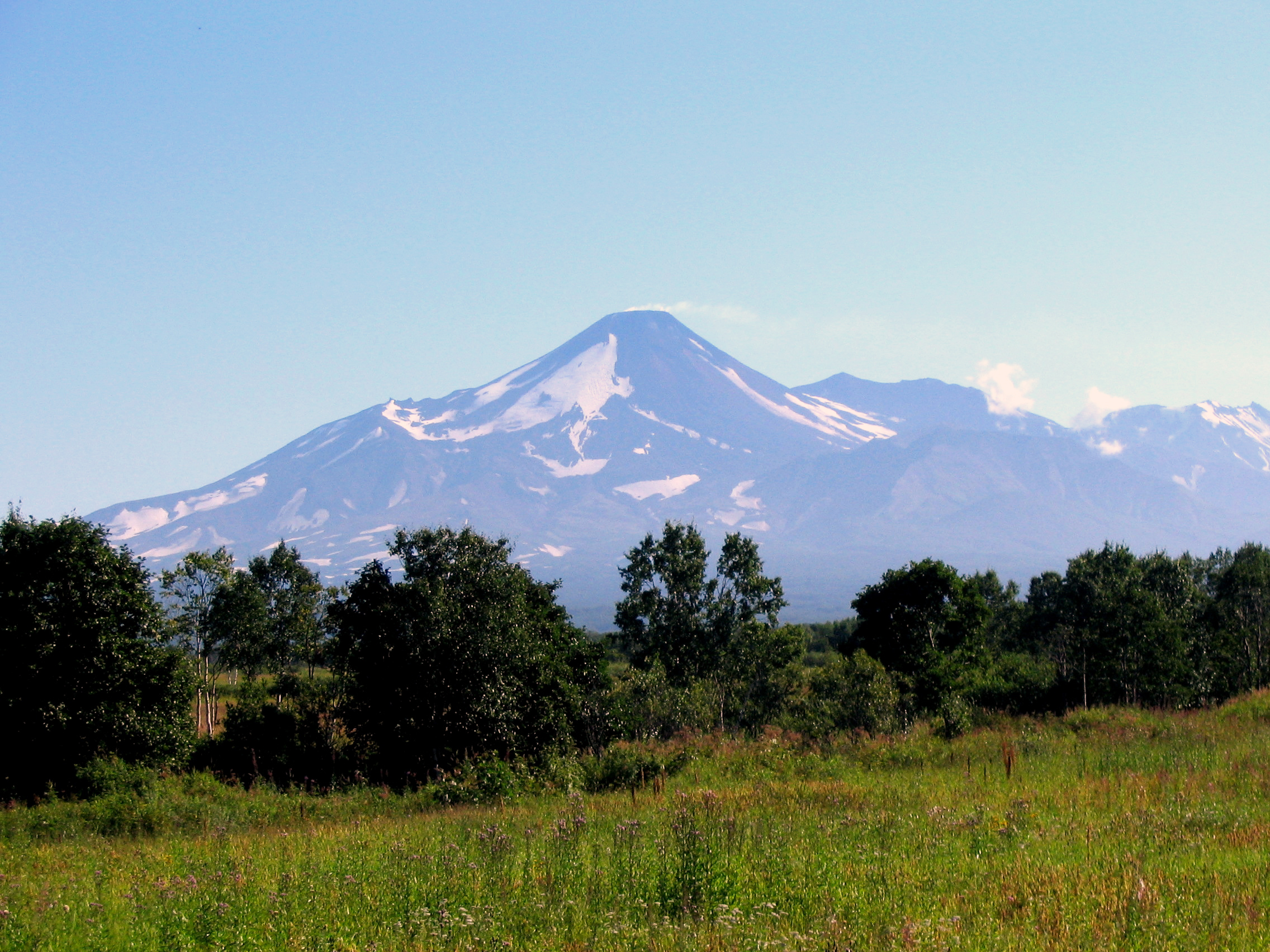
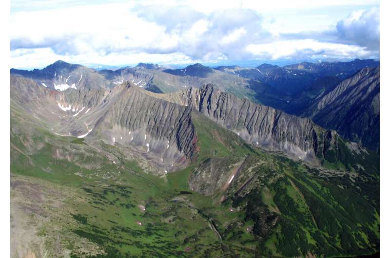
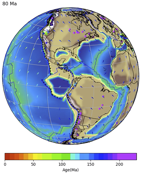
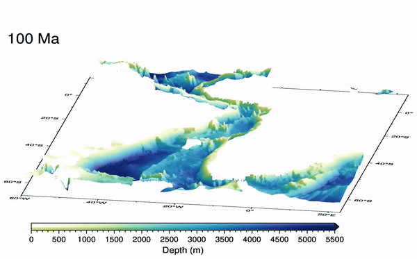
G-Cubed: Papanin Ridge and Ojin Rise Seamounts (Northwest Pacific): Dual Hotspot Tracks Formed by the Shatsky Plume
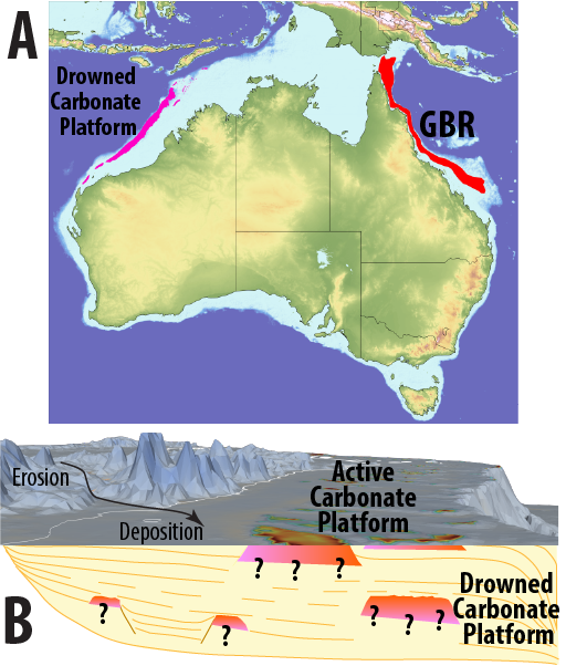
The origin of Shatsky Rise, a large igneous plateau in the NW Pacific, has long been debated. It could have either formed by shallow mantle melting due to its confirmed creation along a mid-ocean ridge or with additional contribution of deeper mantle material that upwelled as so-called mantle plume beneath the spreading ridge (“plume-ridge interaction”). … Read more…