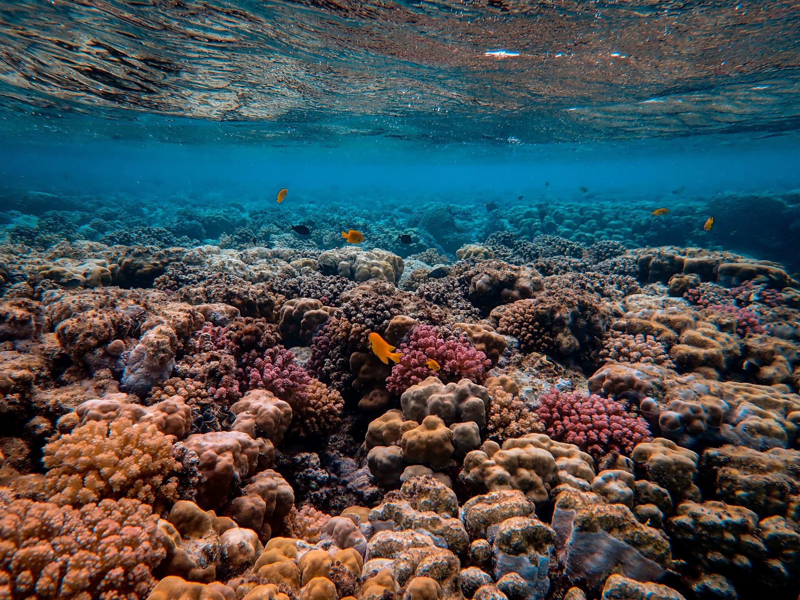

 When organic particles sink from the surface ocean to the seafloor, a small but significant proportion of atmospheric carbon is stored away. Adriana Dutkiewicz and colleagues at the University of Sydney and Data61/CSIRO have now used global data sets collected over decades combined with cutting-edge big data analysis to understand how this process depends on surface ocean environments. … Read more…
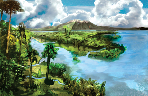
Earth’s ‘boring billion years’ created the conditions for complex life
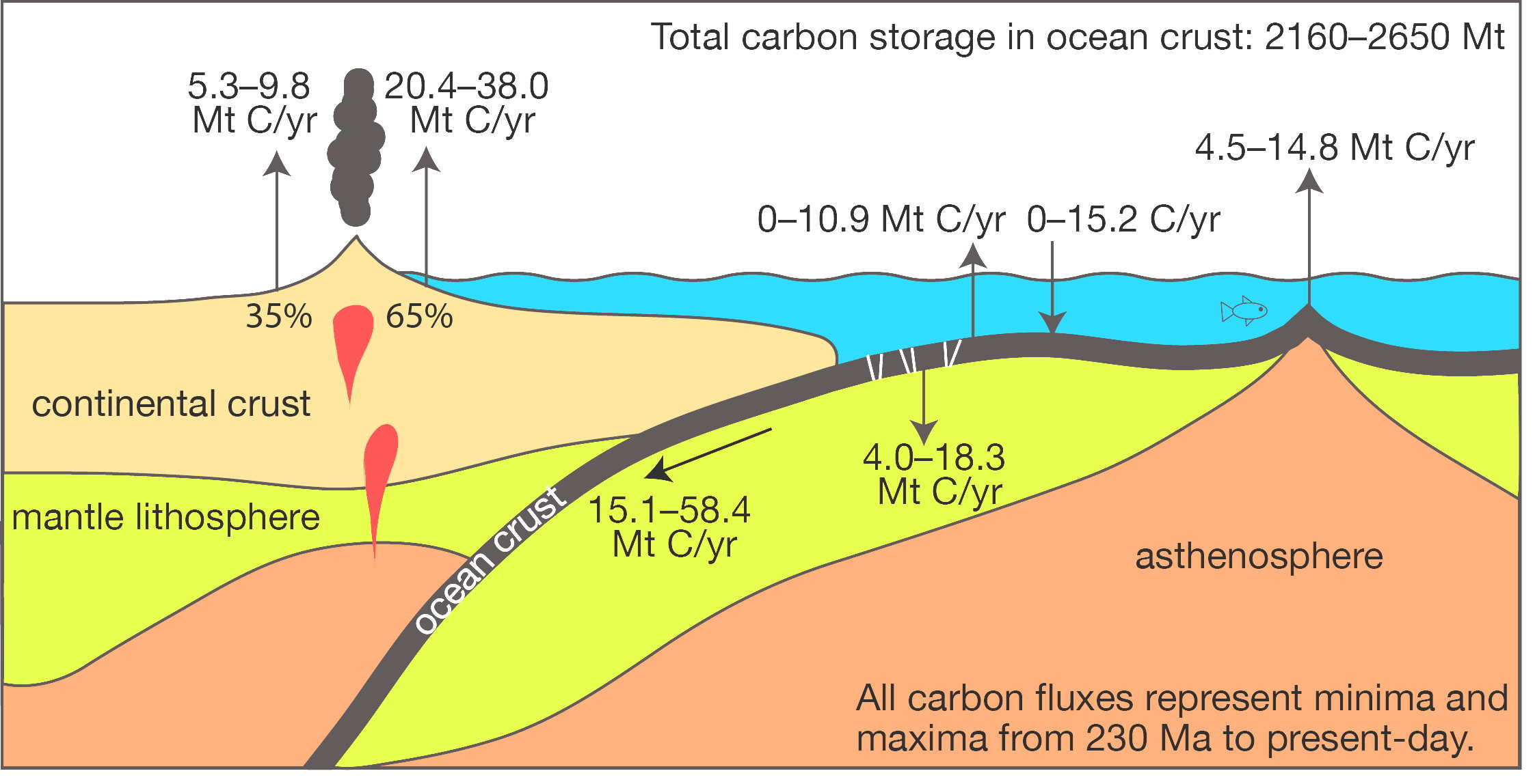
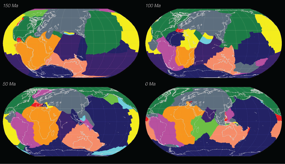
Sydney University Media Release, 20 October 2025 Plate tectonics played central role shaping life-supporting oceans Between 1.8 and 0.8 billion years ago, Earth’s tectonic activity locked atmospheric carbon dioxide into carbonate minerals within the oceanic crust, paving the way for oxygen-rich seas and evolving life. Source: research paper A study led by researchers from the … Read more…

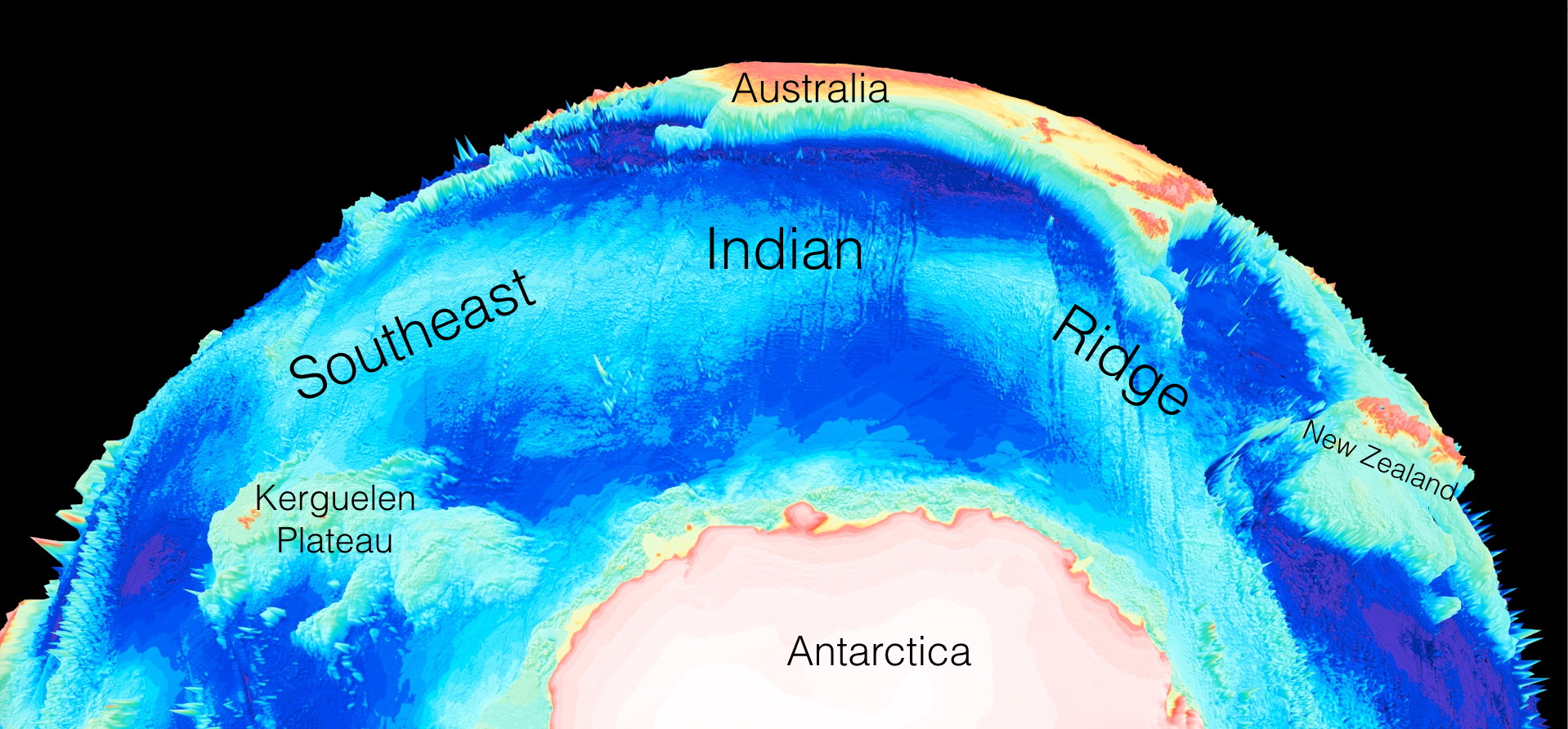
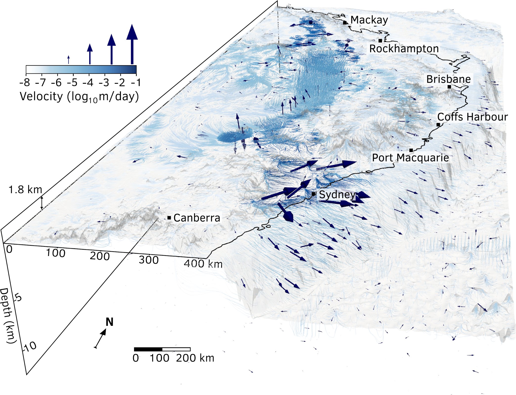
 Geologists from the University of Sydney and the California Institute of Technology have solved the mystery of how Australia’s highest mountain – Mount Kosciusko – and surrounding alps came to exist.
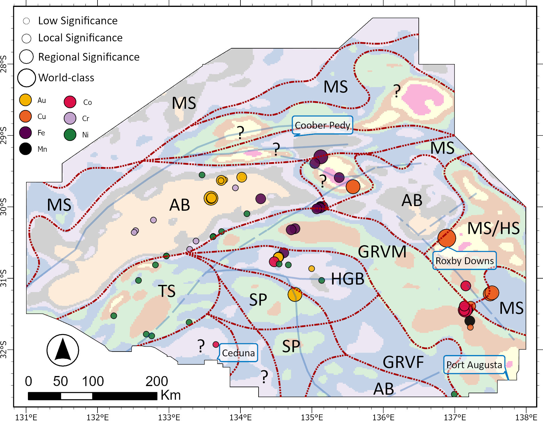
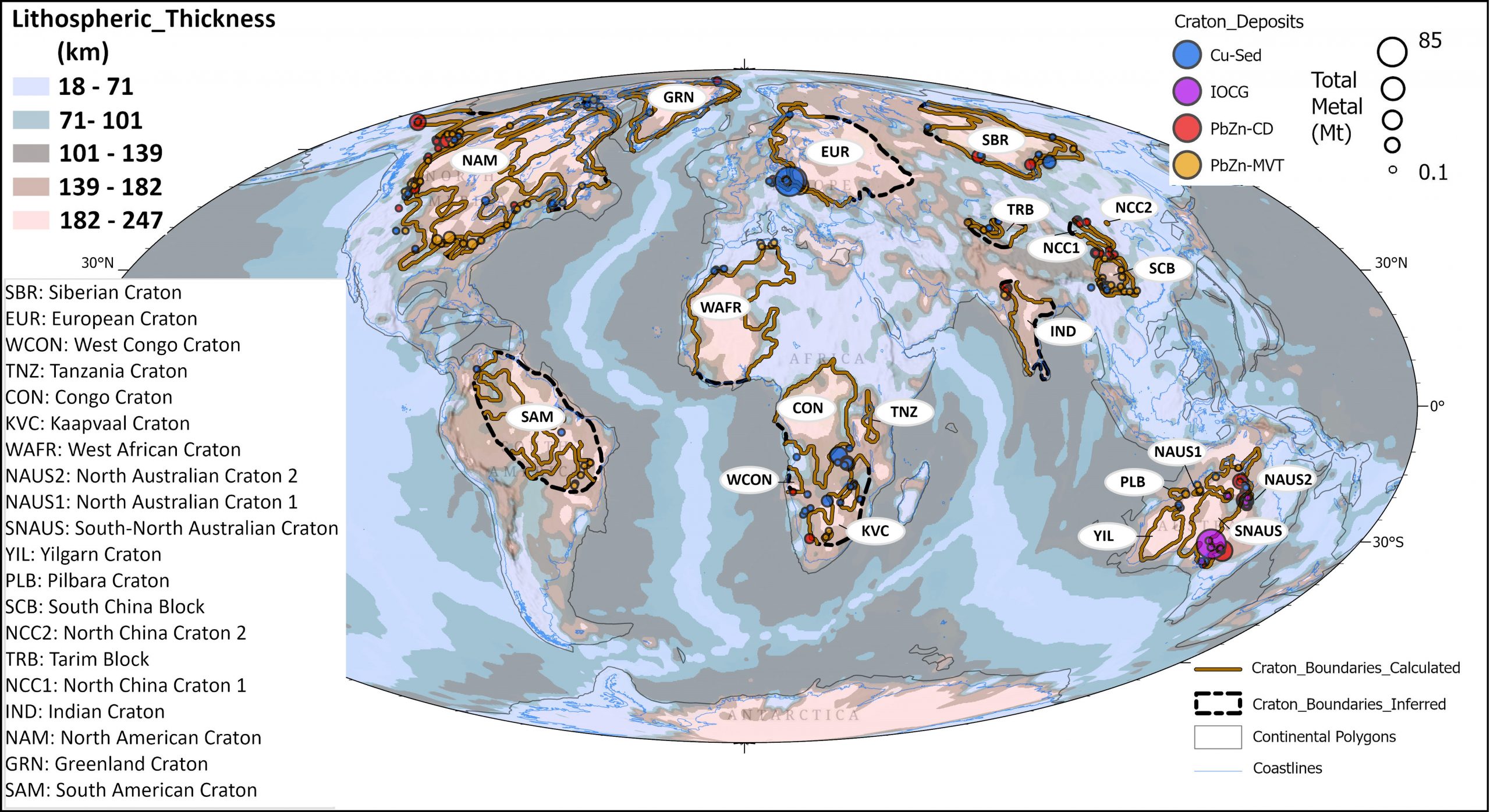
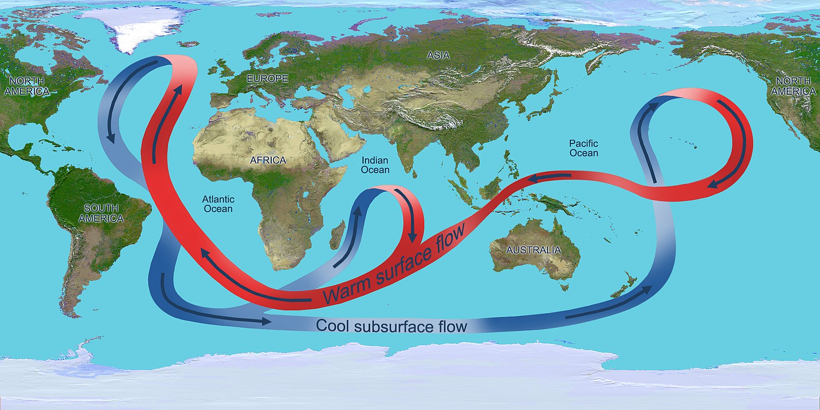
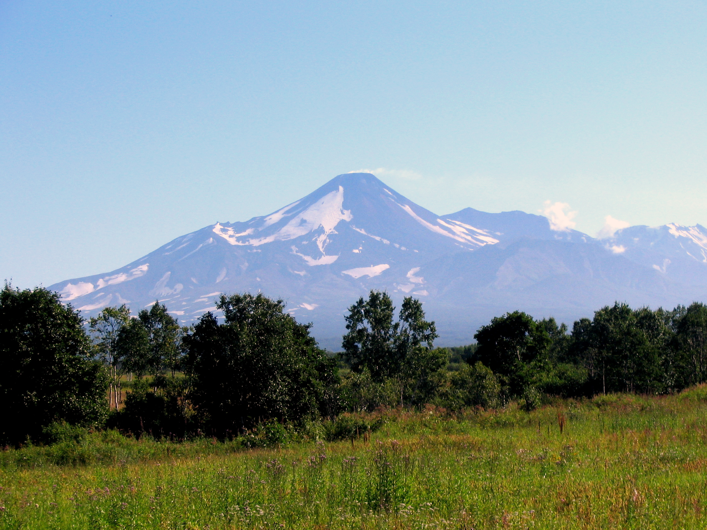
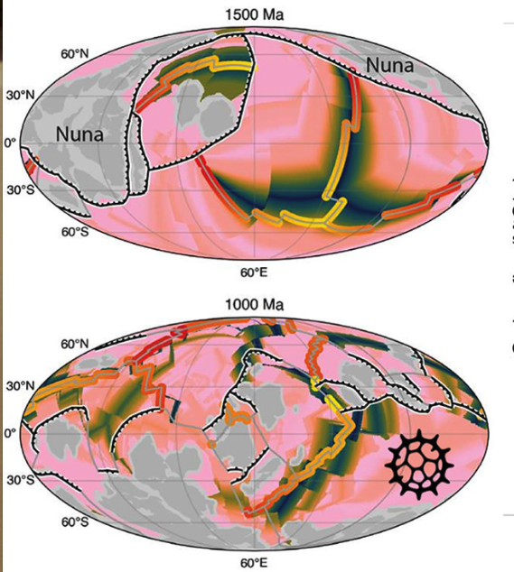
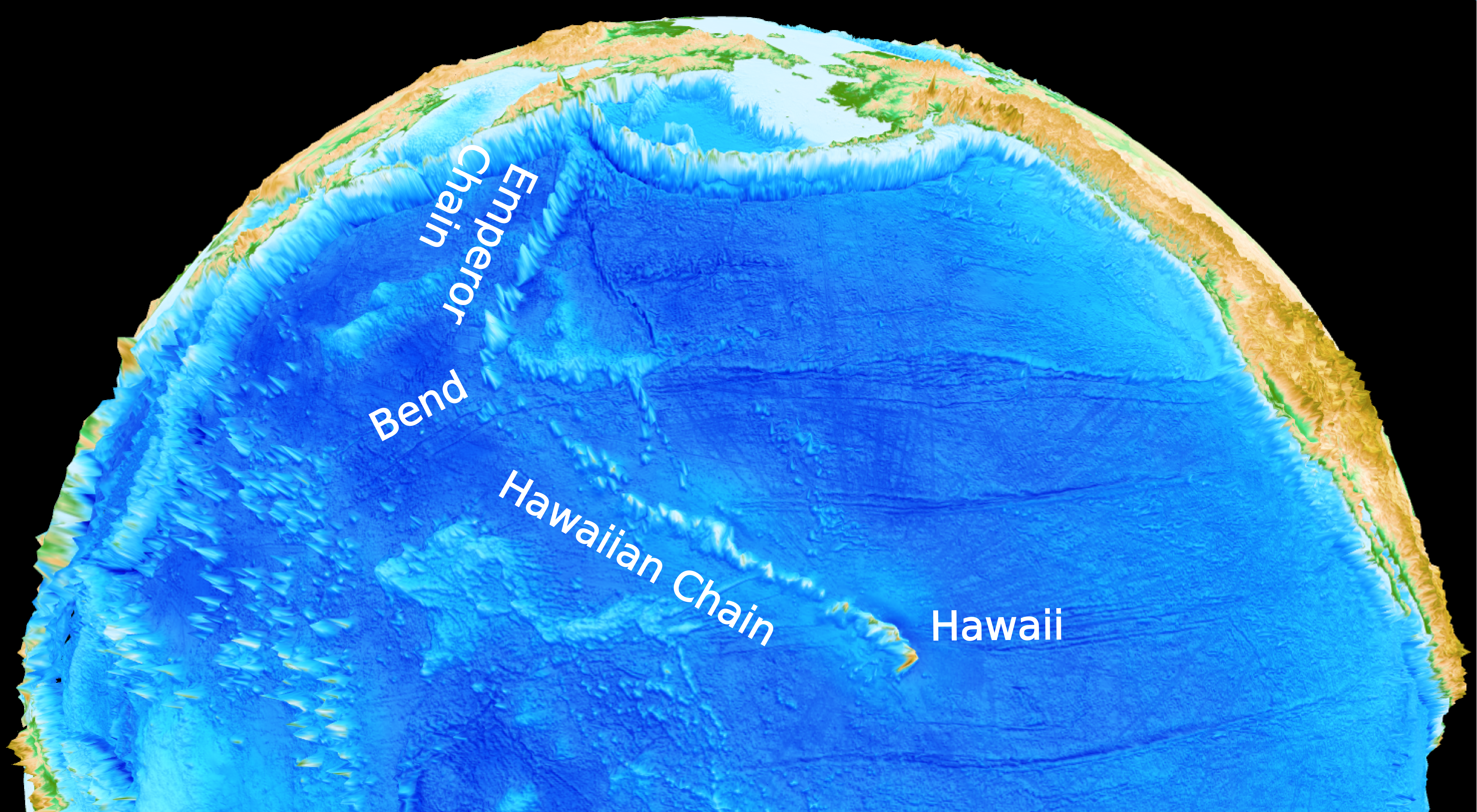
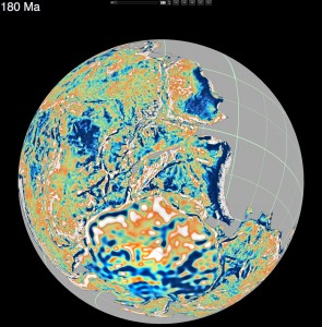 How did Madagascar once slot next to India? Where was Australia a billion years ago?
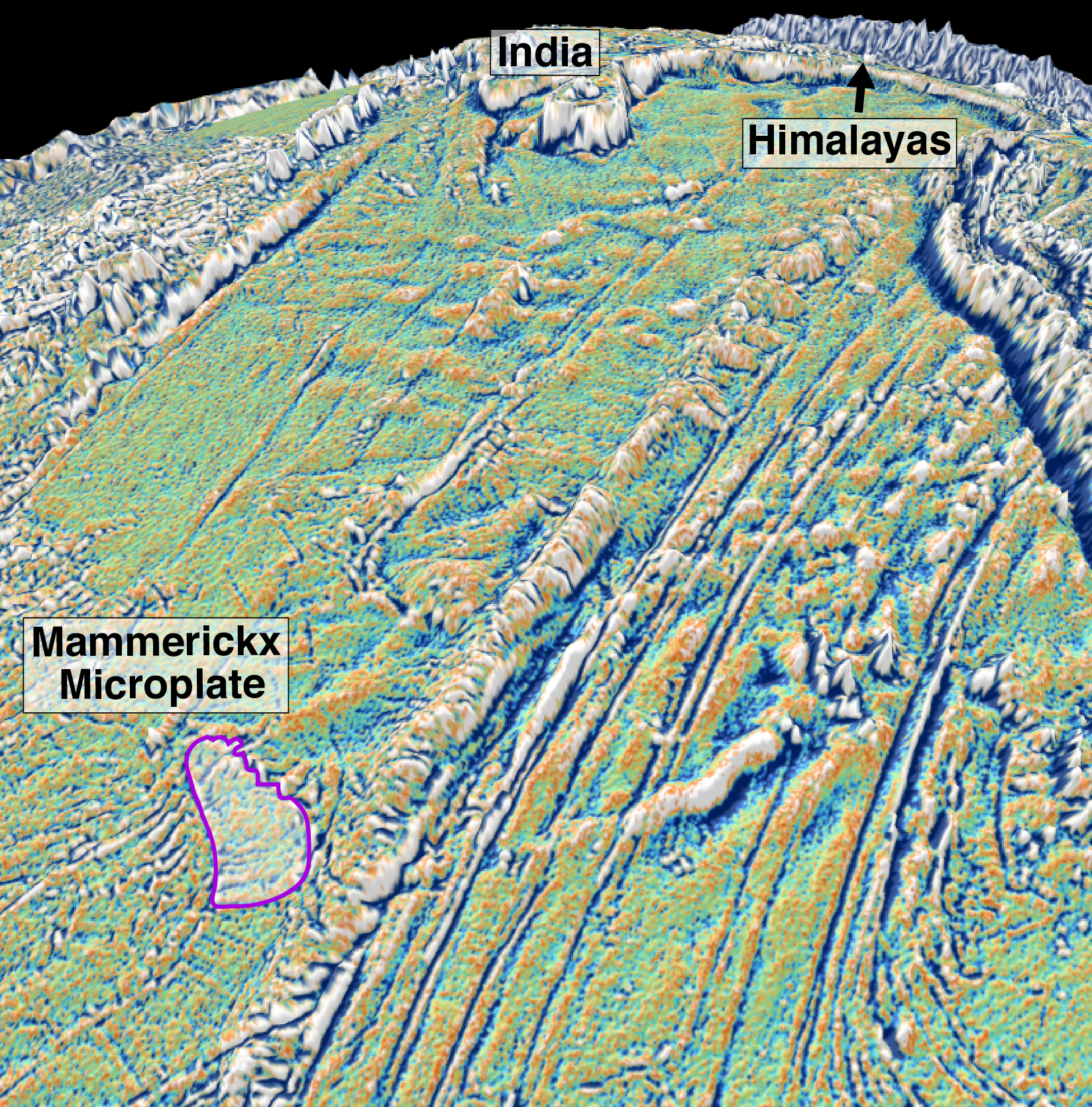
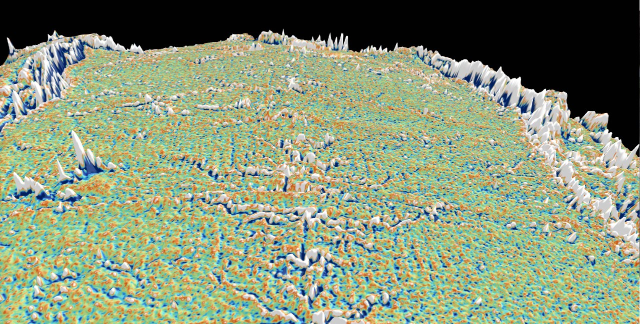
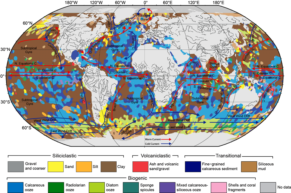
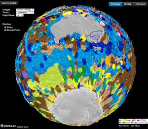 New digital seafloor geology map uses artificial intelligence and big data to boost understanding of the ocean floor