Developing community-based scientific priorities and new drilling proposals in the southern Indian and southwestern Pacific oceans

Abstract: An International Ocean Discovery Program (IODP) workshop was held at Sydney University, Australia, from 13 to 16 June 2017 and was attended by 97 scientists from 12 countries. The aim of the workshop was to investigate future drilling opportunities in the eastern Indian Ocean, southwestern Pacific Ocean, and the Indian and Pacific sectors of the … Read more…

Computer vision-based framework for extracting tectonic lineaments from optical remote sensing data

Abstract: The extraction of tectonic lineaments from digital satellite data is a fundamental application in remote sensing. The location of tectonic lineaments such as faults and dykes are of interest for a range of applications, particularly because of their association with hydrothermal mineralization. Although a wide range of applications have utilized computer vision techniques, a … Read more…

The interplay of dynamic topography and eustasy on continental flooding in the late Paleozoic

Abstract: Global sea level change can be inferred from sequence stratigraphic and continental flooding data. These methods reconstruct sea level from peri-cratonic and cratonic basins that are assumed to be tectonically stable and sometimes called reference districts, and from spatio-temporal correlations across basins. However, it has been understood that long-wavelength (typically hundreds of km) and low-amplitude … Read more…

Constraining Absolute Plate Motions Since the Triassic

Abstract: The absolute motion of tectonic plates since Pangea can be derived from observations of hotspot trails, paleomagnetism, or seismic tomography. However, fitting observations is typically carried out in isolation without consideration for the fit to unused data or whether the resulting plate motions are geodynamically plausible. Through the joint evaluation of global hotspot track … Read more…

Bayeslands: A Bayesian inference approach for parameter uncertainty quantification in Badlands

Abstract: Bayesian inference provides a rigorous methodology for estimation and uncertainty quantification of unknown parameters in geophysical forward models. Badlands is a landscape evolution model that simulates topography development at various space and time scales. Badlands consists of a number of geophysical parameters that needs estimation with appropriate uncertainty quantification; given the observed present-day ground truth … Read more…

Decoding earth’s plate tectonic history using sparse geochemical data

Abstract: Accurately mapping plate boundary types and locations through time is essential for understanding the evolution of the plate-mantle system and the exchange of material between the solid Earth and surface environments. However, the complexity of the Earth system and the cryptic nature of the geological record make it difficult to discriminate tectonic environments through … Read more…

Modeling geochemical anomalies of stream sediment data through a weighted drainage catchment basin method for detecting porphyry Cu-Au mineralization

Abstract: Stream sediment surveying is a geochemical sampling method which is typically applied in the preliminary stages of mineral prospecting. Both continuous and discrete mapping approaches have been proposed to delineate geochemical anomalies at large scales using stream sediment samples. We aim to enhance the efficiency of a recent discrete mapping method called Weighted Drainage … Read more…

Tectonic, geodynamic and surface process driving forces of Australia’s paleogeography since the Jurassic

Abstract: Today the eastern highlands of Australia are significantly more elevated than western Australia, but the continent’s geodynamic evolution suggests that the opposite was the case during Cretaceous times, when the Eromanga Sea dominated the eastern Australian landscape. Previous geodynamic and surface processes models have been used to simulate the evolution of this seaway, but … Read more…

Deep Carbon Cycling Over the Past 200 Million Years: A Review of Fluxes in Different Tectonic Settings

Abstract: Carbon is a key control on the surface chemistry and climate of Earth. Significant volumes of carbon are input to the oceans and atmosphere from deep Earth in the form of degassed CO2 and are returned to large carbon reservoirs in the mantle via subduction or burial. Different tectonic settings (e.g., volcanic arcs, mid-ocean … Read more…

EarthByte Honours and Masters Projects 2020

EarthByte globe icon

EarthByte has now released a list of Honours/Masters projects to be offered in 2020. These projects are outlined below. We can also tailor projects to your interests. Feel free to contact us by clicking the supervisor links below. Project Title Supervisor(s) How climate and subsidence control the sedimentation along the Norwegian Margin? Claire Mallard , … Read more…

GPlates 2.2 software and data sets

GPlates Title Logo

GPlates 1.5 Promo
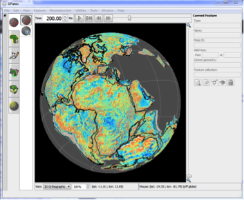
GPlates is a free desktop software for the interactive visualisation of plate-tectonics. The compilation and documentation of GPlates 2.2 data was primarily funded by AuScope National Collaborative Research Infrastructure (NCRIS).

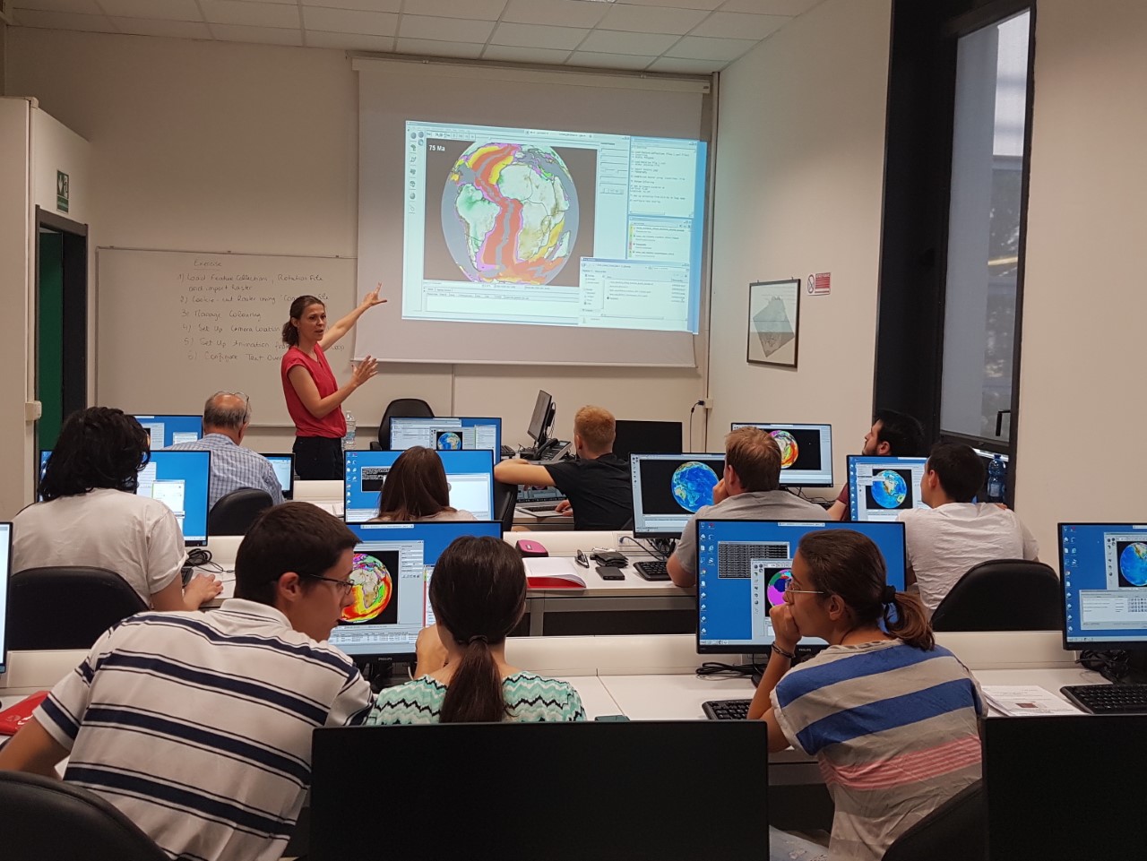
GPlates is developed by an international team of scientists and professional software developers at the EarthByte Project (part of AuScope) at the University of Sydney, the Division of Geological and Planetary Sciences (GPS) at CalTech, the Geodynamics team at the Geological Survey of Norway (NGU) and the Centre for Earth Evolution and Dynamics (CEED) at the University of Oslo. … Read more…

Share

NSW South Coast Carbon Down Under Field Excursion 2019

A fun day at the NSW South Coast introduced the Deep Carbon Observatory“Carbon Down Under” workshop participants to the Late Permian and Lower Triassic geology of the Sydney Basin. The Triassic Narrabeen sandstones, deposited after the Permo-Triassic mass extinction, are devoid of signs of life and represent a time when atmospheric CO2 was at about 6 … Read more…

Hiring research assistant as part of the Basin GENESIS Hub (BGH) project

The EarthByte group is looking for an enthusiastic research assistant as part of the Basin GENESIS Hub (BGH) project. To apply, please send a short CV/Resume, Academic Transcript, and a paragraph explaining why you would be suitable for the role in an e-mail to Sara Morón (sara.moronpolanco@sydney.edu.au) by 5pm, 19 August 2019.

MinEx CRC PhD project: Bayesian optimisation for drill site selection

MinEx CRC PhD project: Bayesian optimisation for drill site selection at the University of South Australia, the School of Geosciences, University of Sydney and Geoscience Australia, including the Centre for Translational Data Science and the EarthByte Group. Download the MinEx pgrad booklet at https://buff.ly/2N5DLJ0

PyBacktrack 1.1 has been released as Python package and Docker image

PyBacktrack is a Python package that backtracks the paleo-water depth of ocean drill sites through time by combining a model of tectonic subsidence with decompaction of the site stratigraphic lithologies. PyBacktrack can also include the effects of mantle-convection driven dynamic topography on paleo-water depth, as well as sea-level variations. PyBacktrack provides a model of tectonic … Read more…

EarthByte WebDAV/FTP

Webdav/FTP The IP address of earthbyte.org is 104.128.67.157. Browse Data: Method 1: Use web browser, the root URL is https://www.earthbyte.org/webdav/ftp/ Method 2: Use Cyberduck Open Connection Type in “104.128.67.157” for Server address Choose WebDav(HTTPS) protocol Tick “Anonymous Login”(readonly) Click “Connect” Note: If Cyberduck failed to connect, use “Finder->Go->Connect to server” and put in this url … Read more…

EByteCentral NAS

IP address: 10.66.32.138 (fast, need VPN) QuickConnectID: earthbyte (slow, VPN is not needed) DMS: http://10.66.32.138:8888 File Station: http://10.66.32.138:8890 Drive: http://10.66.32.138:8889 Location and Custodian: Madsen building room 410A, Sydney Uni, michael.chin@sydney.edu.au The IP address 10.66.32.138 has been bound to the MAC address 90-09-D0-54-A6-D2 (see ICT ticket RITM0802072 if any doubt). Warning: Unless use QuickConnect, you need to be inside … Read more…

Muller et al. (2019) deforming plate reconstructions and associated digital supplements (Tectonics)

A Global Plate Model Including Lithospheric Deformation Along Major Rifts and Orogens Since the Triassic R. Dietmar Müller, Sabin Zahirovic, Simon E. Williams, John Cannon, Maria Seton, Dan J. Bower, Michael G. Tetley, Christian Heine, Eline Le Breton, Shaofeng Liu, Samuel H. J. Russell, Ting Yang, Jonathon Leonard, and Michael Gurnis Journal: Tectonics (open access) … Read more…

Postgraduate opportunities with the EarthByte Group

Earthbyte

The EarthByte research group is known for pursuing open innovation, involving the collaborative development of open-source paleogeographic information system software as well as global digital data sets made available under a creative commons license. One of the fundamental aims of the EarthByte Group is geodata synthesis through space and time, assimilating the wealth of disparate … Read more…

Pantasma: Evidence for a Pleistocene circa 14 km diameter impact crater in Nicaragua

Abstract–The circa 14 km diameter Pantasma circular structure in Oligocene volcanic rocks in Nicaragua is here studied for the first time to understand its origin. Geomorphology, field mapping, and petrographic and geochemical investigations all are consistent with an impact origin for the Pantasma structure. Observations supporting an impact origin include outward-dipping volcanic flows, the presence … Read more…

How Earth’s continents became twisted and contorted over millions of years

Dietmar Muller, Maria Seton and Sabin Zahirovic published an article in The Conversation on How Earth’s continents became twisted and contorted over millions of years based on their recently published paper in Tectonics. Classical plate tectonic theory was developed in the 1960s. It proposed that the outer layer of our planet is made up of a small number of rigid … Read more…

The interplay of dynamic topography and eustasy on continental flooding in the late Paleozoic

Abstract: Global sea level change can be inferred from sequence stratigraphic and continental flooding data. These methods reconstruct sea level from peri-cratonic and cratonic basins that are assumed to be tectonically stable and sometimes called reference districts, and from spatio-temporal correlations across basins. However, it has been understood that long-wavelength (typically hundreds of km) and … Read more…

Dietmar Müller presents at 2019 NSW Mining Exploration Forum on Bayesian approach for optimising the placement of new drill holes

The 2019 NSW Mining Exploration Forum in Parliament House featured a range of talks on how to overcome to current deficit in new resource discoveries, especially in the area of metals needed for the “green economy”.  Invited talks in a session chaired by Sydney University alumna Alexandra Bonner (now Heron Resources) covered the application of … Read more…

AuScope reviews innovations of the ARC Basin Genesis HUB

Sedimentary basins around the world are critical to sustaining modern life on Earth. These basins can be thought of as containers that hold water, minerals, energy, and can potentially be used to store carbon dioxide. Unpacking how they form, and where those resources and storage opportunities may lie is a sizeable feat for the best … Read more…

GPlates-in-schools!

Maria Seton attended Marist College North Shore (Sydney) earlier this week and gave a presentation on “computerised simulations and models of the Earth’s geological history” to a keen group of senior science students. Part of this presentation involved leading a hands-on GPlates activity with the students (see photo). It was a hit and seeing plate … Read more…

Reflections on Earth’s geological history during Earth Hour at Sydney Observatory

The historic Sydney Observatory provided an unrivalled view of Sydney as the city switched its lights off for Earth Hour 2019 on the 30th of March. Public talks included “Sydney Urban Wild” with WIRES campaign Manager Kristie Newton and “Reflecting on Earth” with Dietmar Müller, who built his talk around the idea that understanding the rhythms of Earth’s deep past and thinking about … Read more…

EGU Blog: Meeting Plate Tectonics – Dietmar Müller

David Fernández-Blanco interviewed Dietmar Müller for the EGU Tectonics and Structural Geology Blog, as part of a series of interviews portraying scientists who have contributed to developing and applying plate tectonic theory over the last 50 years.  So far, this set of interviews includes Dan McKenzie, Xavier Le Pichon, Mathilde Cannat, Richard Gordon, Peter Molnar, David Bercovici, Roland … Read more…

Multi-objective Bayesian optimisation for drill site selection

Dietmar gave an invited talk at the 2019 Future of Mining conference in Sydney, with co-authors Sebastian Haan from the Sydney Informatics Hub and Fabio Ramos from the Centre for Translational Data Science. The talk covered how Bayesian optimisation can be used to invert surface geophysical data and physical rock properties derived from drill data … Read more…