Detection of mineralization stages using zonality and multifractal modeling based on geological and geochemical data in the Au-(Cu) intrusion-related Gouzal-Bolagh deposit, NW Iran

As the co- and corresponding author, Dr. Behnam Sadeghi, from EarthByte Group, has recently published this paper in “Ore Geology Reviews”. This research is based on a collaborative project with the Geological Survey of Iran. Abstract: The objective of this paper is to detect various gold and copper mineralization stages according to surface lithogeochemical data … Read more…

Remote Sensing of the Enivronment: A review of machine learning in processing remote sensing data for mineral exploration

The decline of the number of newly discovered mineral deposits and increase in demand for different minerals in recent years has led exploration geologists to look for more efficient and innovative methods for processing different data types at each stage of mineral exploration. As a primary step, various features, such as lithological units, alteration types, … Read more…

Earth Surface Dynamics: Tectonically and climatically driven mountain-hopping erosion in central Guatemala from detrital 10Be and river profile analysis

The rise of a mountain range affects moisture circulation in the atmosphere and water runoff across the land surface, modifying the distribution of precipitation and drainage patterns in its vicinity. Water routing in turn affects erosion on hillslopes and incision in river channels on surrounding mountain ranges. In central Guatemala, two parallel, closely spaced mountain … Read more…

Geosphere: Fast Pliocene integration of the Central Anatolian Plateau drainage: Evidence, processes, and driving forces

Continental sedimentation was widespread across the Central Anatolian Plateau in Miocene– Pliocene time, during the early stages of plateau uplift. Today, however, most sediment produced on the plateau is dispersed by a well-integrated drainage and released into surrounding marine depocenters. Residual long-term (106–107 yr) sediment storage on the plateau is now restricted to a few … Read more…

Marine and Petroleum Geology: Single-phase vs two-phase rifting: Numerical perspectives on the accommodation of extension during continental break-up

How continental lithosphere responds to extension is a function of the dynamic interaction between layers of differing rheological properties, including the shallow crust, deep crust, lithospheric mantle, and asthenosphere. We investigate the first-order controls on the modes of extension and timing of transition from continental rifting to development of continental margins via a suite of … Read more…

Basin Research: Modelling the role of dynamic topography and eustasy in the evolution of the Great Artesian Basin

Widespread flooding of the Australian continent during the Early Cretaceous, referred to as the Eromanga Sea, deposited extensive shallow marine sediments throughout the Great Artesian Basin (GAB). This event had been considered ‘out of sync’ with eustatic sea level and was instead solely attributed to dynamic subsidence associated with Australia’s passage over eastern Gondwanan subducted … Read more…

Simulated-multifractal models: A futuristic review of multifractal modeling in geochemical anomaly classification

Dr. Behnam Sadeghi, from EarthByte Group (USYD), has published a new review paper in “Ore Geology Reviews”. Sadeghi et al. (2015) proposed simulated-fractal models for the first time, which is based on the combination of geostatistical simulation models and mathematical fractal/multifractal modeling to classify geochemical anomalies. Based on that research, several other models have been … Read more…

5.8 magnitude Mansfield earthquake reflects compressive intraplate stress reactivating deep faults

Forces acting along the edges of tectonic plates, particularly compressive forces caused by plate convergence and orogeny, propagate into the interior of plates and cause deformation within continents. Forces acting on the edges of plates include compressive forces due to plate collisions and mountain building, so-called “ridge push” forces caused by the excess gravitational potential … Read more…

G-Cubed: Papanin Ridge and Ojin Rise Seamounts (Northwest Pacific): Dual Hotspot Tracks Formed by the Shatsky Plume

The origin of Shatsky Rise, a large igneous plateau in the NW Pacific, has long been debated. It could have either formed by shallow mantle melting due to its confirmed creation along a mid-ocean ridge or with additional contribution of deeper mantle material that upwelled as so-called mantle plume beneath the spreading ridge (“plume-ridge interaction”). … Read more…

STELLAR – Spatio TEmporaL expLorAtion for Resources

stellar_logo_light

Project STELLAR (Spatio TEmporaL expLorAtion for Resources) is a collaboration between BHP and the EarthByte Group aimed at implementing big and complex spatio-temporal data analysis and modelling to support the needs of BHP in global resource exploration. Split into multiple phases over the next 3.5 years, the project will connect BHP’s warehouse of global resource knowledge with … Read more…

International Association for Mathematical Geosciences (IAMG)’s Award Winners’ Talks

Dr. Behnam Sadeghi,  in 2020, was introduced as the first recipient of the “Founders Scholarship” award of the International Association for Mathematical Geosciences (IAMG), now being presented annually to the most outstanding student or post-graduate scientist in the field of Mathematical Geosciences. This award is given in honor and memory of the individuals who participated … Read more…

Volcanoes acted as a safety valve for Earth’s long-term climate

Volcanoes acted as a safety valve for Earth’s long-term climate The natural weathering of rocks on Earth’s surface over time is a crucial process for removing CO2 from the atmosphere Researchers have now used artificial intelligence to study interactions between land, sea and the atmosphere to determine the biggest drivers of this process over the … Read more…

Continental arcs dominate global chemical weathering

Earth’s plate-tectonic activity regulates the carbon cycle and, hence, climate, via volcanic outgassing and silicate-rock weather- ing. Mountain building, arc–continent collisions and clustering of continents in the tropics have all been invoked as controlling the weathering flux, with arcs also acting as a major contributor of carbon dioxide to the atmosphere. However, these processes have … Read more…

World Economic Forum: Watch how today’s continents were formed over one billion years – in just 40 seconds

The plate tectonic theory says that Earth’s surface is made up of slabs of rock that are slowly shifting right under our feet. Because of this constant movement, today’s Earth looks a lot different from what it did millions of years ago. In 1912, German scientist Alfred Wegener proposed that Earth’s continents once formed a … Read more…

Download GPlates 2.3

Welcome to the download page for GPlates 2.3. Information about this release may be found on the News page of the GPlates website. This page contains the following sections: Download file descriptions There are 12 download files consisting of: GPlates binary installers The binary installers include GPlates and the GPlates-compatible geodata. For Windows: For macOS: … Read more…

The Conversation: Travelling through deep time to find copper for a clean energy future

More than 100 countries, including the United States and members of the European Union, have committed to net-zero carbon emissions by 2050. The world is going to need a lot of metal, particularly copper. Recently, the International Energy Agency sounded the warning bell on the global supply of copper as the most widely used metal in renewable … Read more…

GPlates 2.3 software and data sets

GPlates Title Logo


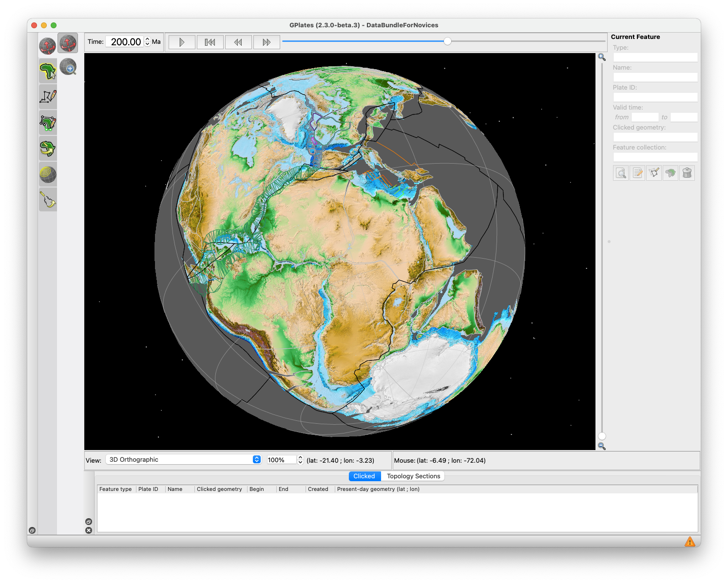
GPlates is a free desktop software for the interactive visualisation of plate-tectonics. The compilation and documentation of GPlates 2.3 data was primarily funded by AuScope National Collaborative Research Infrastructure (NCRIS).

GPlates is developed by the EarthByte Group (part of AuScope NCRIS) at the University of Sydney and the Division of Geological and Planetary Sciences (GPS) at California Institute of Technology (CalTech). … Read more…

Share

Kinematics and extent of the Piemont–Liguria Basin – implications for subduction processes in the Alps

Assessing the size of a former ocean of which only remnants are found in mountain belts is challenging but crucial to understanding subduction and exhumation processes. Here we present new constraints on the opening and width of the Piemont–Liguria (PL) Ocean, known as the Alpine Tethys together with the Valais Basin. We use a regional … Read more…

Predicting the emplacement of Cordilleran porphyry copper systems using a spatio-temporal machine learning model

Porphyry copper (Cu) systems occur along magmatic belts derived in subduction zones. Our current under- standing of their formation is restricted to observations from the overriding plate, resulting in a knowledge gap in terms of processes occurring in convergence zones through time. An association between key tectonic processes and the timing and location of porphyry … Read more…

Potential encoding of coupling between Milankovitch forcing and Earth’s interior processes in the Phanerozoic eustatic sea-level record

The driving mechanisms of Earth’s climate system at a multi-Myr timescale have received considerable attention since the 1980’s as they are deemed to control large-amplitude climatic variations that result in severe biogeochemical disruptions, major sea-level variations, and the evolution of Earth’s land- and seascapes through geological time. The commonly accepted mechanism for these changes derives … Read more…

Concentration-distance from centroids (C-DC) multifractal modeling: A novel approach to characterizing geochemical patterns based on sample distance from mineralization

Behnam Sadeghi from EarthByte Group has published a new paper in journal “Ore Geology Reviews”, based on his PhD thesis. In this research, to explore the VMS Cu deposits throughout Sweden a novel multifractal model of concentration-distance from centroids (C-DC) has been developed and applied to the till data provided by the Geological Survey of … Read more…